uMap
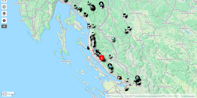
uMap turns OpenStreetMap into a personal mapmaking canvas: draw markers, lines and polygons in the browser, layer your own data over detailed street maps, and embed the finished map in any website. Each map is built from data layers you can style independently, choosing marker shapes, colors, icons and popups that show names, descriptions, photos or videos when clicked. You can sketch points of interest by hand or batch import whole datasets in GeoJSON, GPX, KML or OSM format, then let clustering group dense markers or a heatmap reveal where things concentrate. Backgrounds come from a choice of OpenStreetMap based tile layers, so the same map can sit on a street plan or a cycling map depending on the audience. Finished maps embed with a snippet of HTML, stay interactive inside the page, and can be downloaded or shared by link with read only access for viewers. Permissions decide who owns, edits or only views each map, and with real time collaboration switched on, several editors can draw on the same map simultaneously and watch each other's changes appear live. A slideshow mode turns layers into a guided story, stepping viewers through places in order with text and media attached to each stop. Running on a dedicated VPS on RepoCloud with guaranteed CPU, RAM, and SSD, full root SSH access, and a browser serial console. AGPL-3.0 licensed.
Deploy