Categories
Self-Hosted Maps Community Platform GIS OpenStreetMap Geospatial Collaborative Mapping CrowdsourcingStars
Forks
Watchers
Developer links
OpenStreetMap
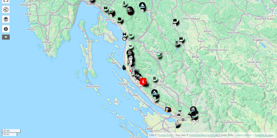
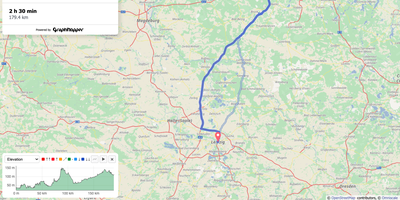
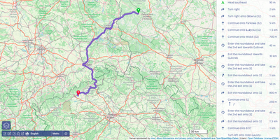
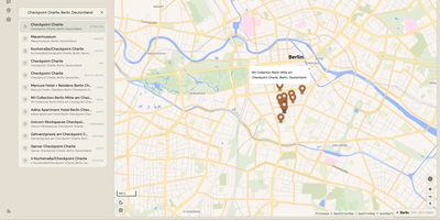
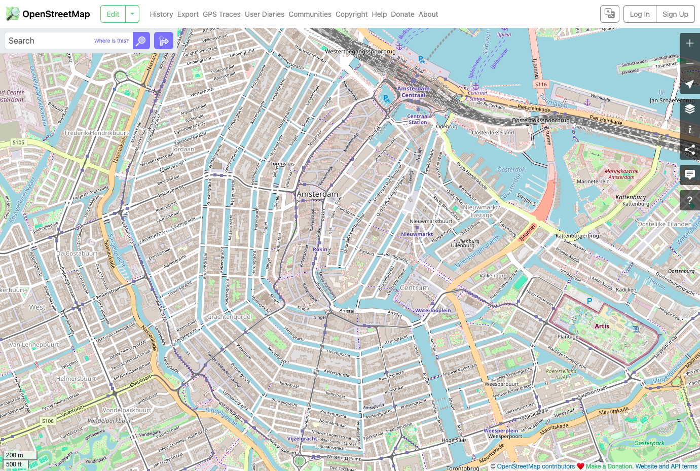
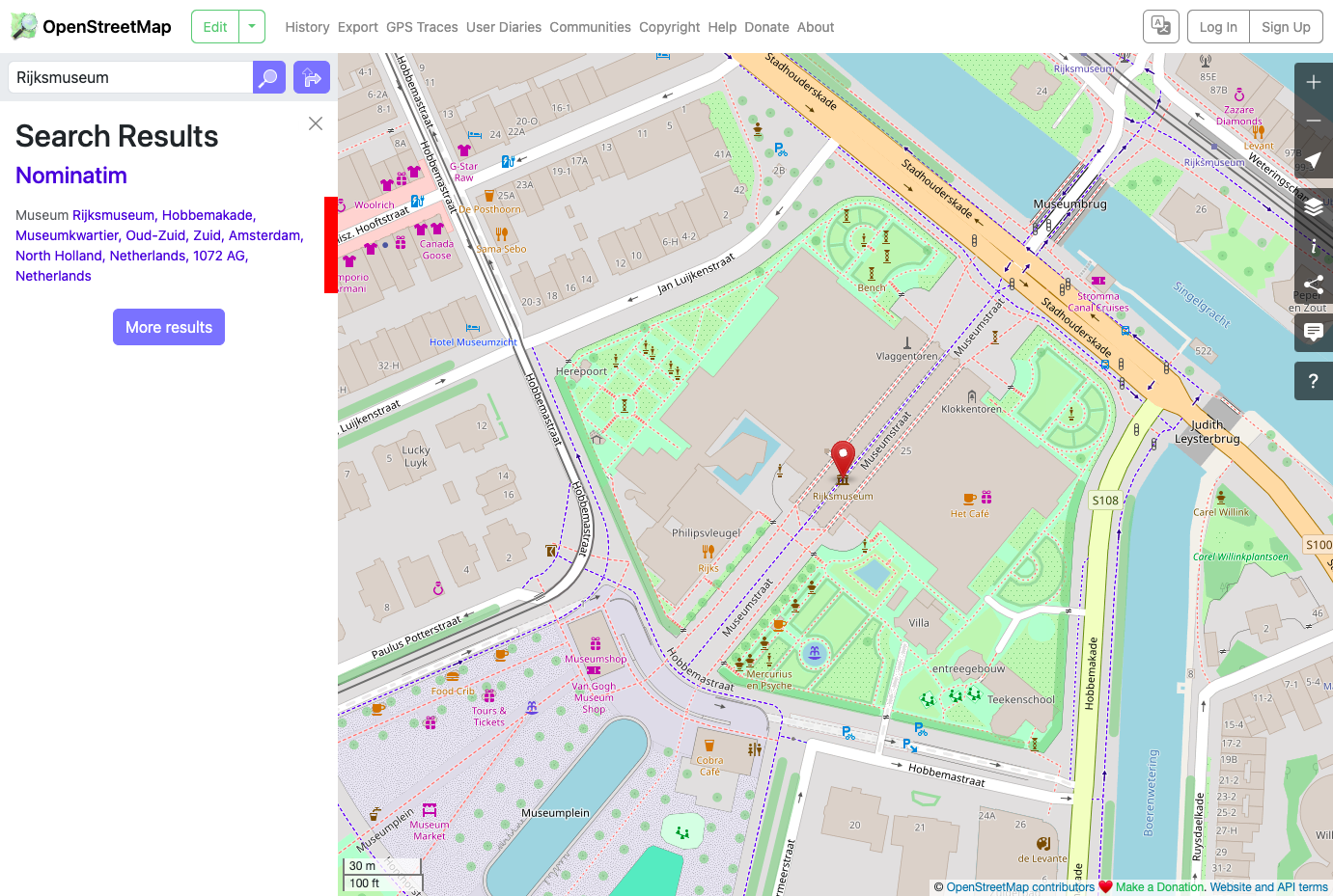
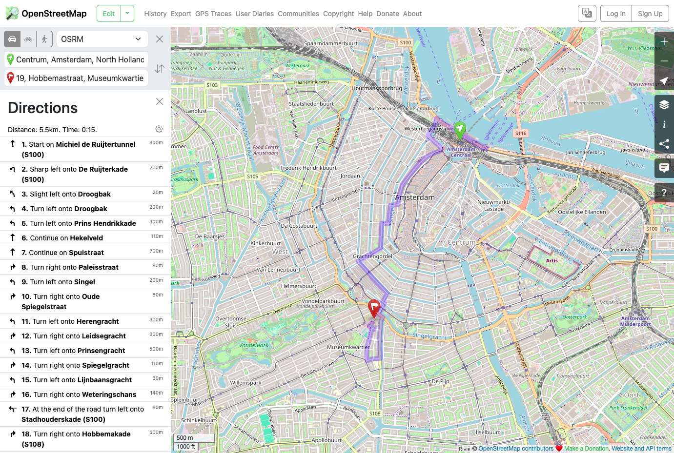
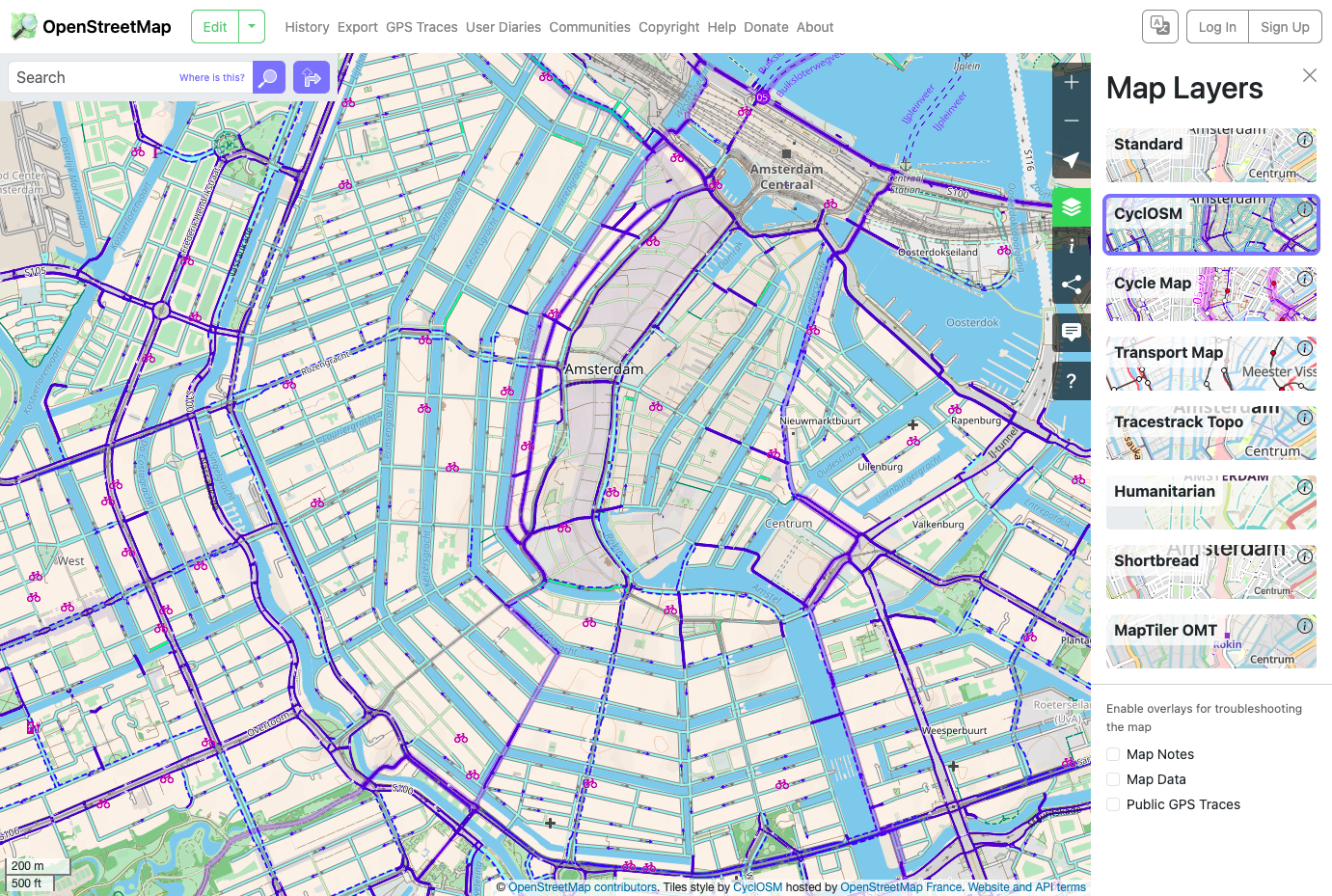
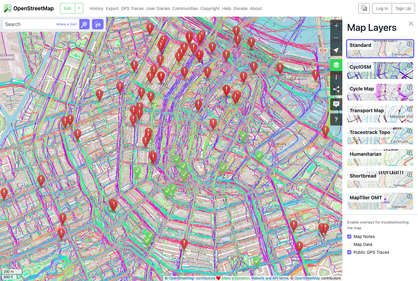
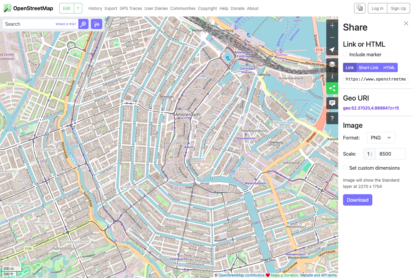
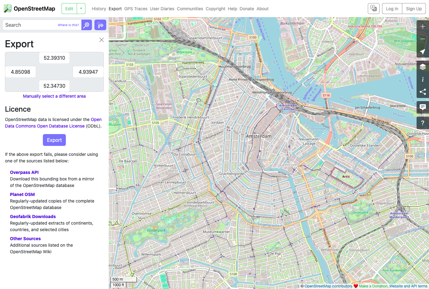
OpenStreetMap is the web application that runs openstreetmap.org, so you can host a collaborative map of your own with separate members, data, and rules. Visitors search places through a configurable Nominatim geocoder and switch between Standard, CyclOSM, Humanitarian, and Shortbread layers, with overlays for Map Notes, Map Data, and public GPS traces. The Directions panel plans car, bike, and foot routes through GraphHopper, OSRM, or Valhalla and lists every turn beside the route. Members edit in the in-browser iD editor or in JOSM through Remote Control, while an XML and JSON API secured by OAuth 2 lets third-party tools read and write the same data. Every node, way, and relation keeps its tags and version history, and changesets carry discussion comments. The Share panel produces short links, embed HTML, a geo URI, and PNG, JPEG, WEBP, SVG, or PDF images, while Export downloads the data inside a bounding box. Contributors upload GPX traces with tags and visibility settings, pin Map Notes where the map is wrong, write diaries, message each other, follow other mappers, and find local communities. Administrators and moderators block users for preset periods and handle reported issues, while edit rate limits loosen as accounts age. Status modes switch the API or database to read-only or offline for maintenance, and the interface ships in more than 110 locales. Running on a dedicated VPS on RepoCloud with guaranteed CPU, RAM, and SSD, full root SSH access, and a browser serial console. GPL-2.0 licensed.
Benefits
- Your Own Independent Map Database
- OpenHistoricalMap and OpenGeofiction run their own instances of this software with databases separate from the main site, so your members, data, and moderation rules stay yours.
- Open API for Every Mapping Tool
- The version 0.6 API serves XML and JSON, authenticates with OAuth 2, and caps request areas and node counts, so editors, bots, and apps can read and write map data safely.
- Safeguards for Open Contribution
- Preset user block periods, moderator and administrator roles, a spam threshold, and edit limits that rise over a new account's first seven days help keep open editing manageable.
- Plug In Your Own Map Services
- Point the site at your own Nominatim geocoder, Overpass instance, and GraphHopper, OSRM, or Valhalla routing servers, and add Thunderforest, Tracestrack, or MapTiler keys to unlock Cycle Map, Transport Map, Topo, and OMT layers.
Features
- Layered Map Browser
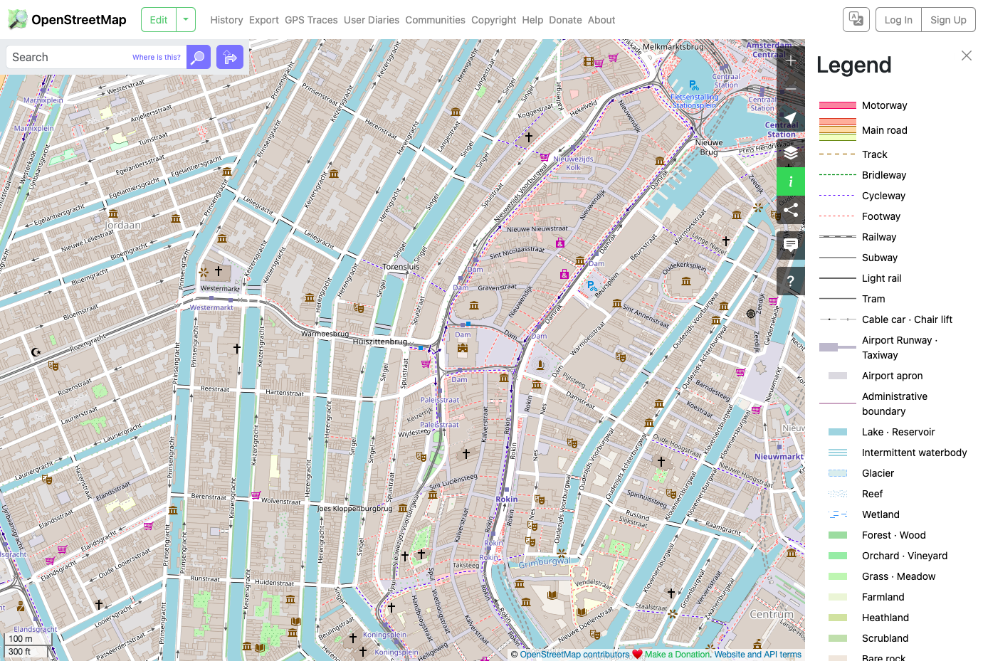
- Standard, CyclOSM, Humanitarian, and Shortbread base layers need no keys, with Map Notes, Map Data, and Public GPS Traces overlays and a legend for the active layer.
- Turn-by-Turn Directions
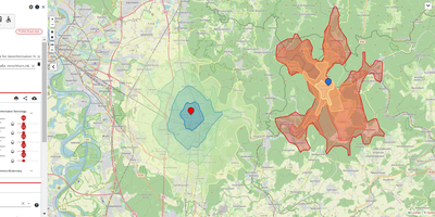
- Choose car, bike, or foot, pick GraphHopper, OSRM, or Valhalla as the engine, and read distance, travel time, and every instruction beside the route on the map.
- Editors and Version History
- Open the in-browser iD editor from the Edit menu or use Remote Control with JOSM or Merkaartor; every node, way, and relation keeps its tags and versions.
- GPS Traces and Notes
- Upload GPX files with a description, tags, and a visibility level, view public traces on the map, and drop Map Notes where data is missing or wrong.
- Share and Export Tools
- Copy short links, embed HTML, and a geo URI, download PNG, JPEG, WEBP, SVG, or PDF images of the view, and export a bounding box of data.
- Accounts, Diaries, and Messages
- Members sign in with local accounts or external providers such as Google, GitHub, Facebook, Microsoft, Apple, and MediaWiki, keep diaries, send private messages, and follow other mappers.