Stars
Forks
Watchers
Developer links
GeoLens
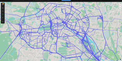
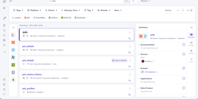
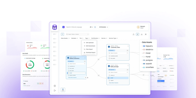
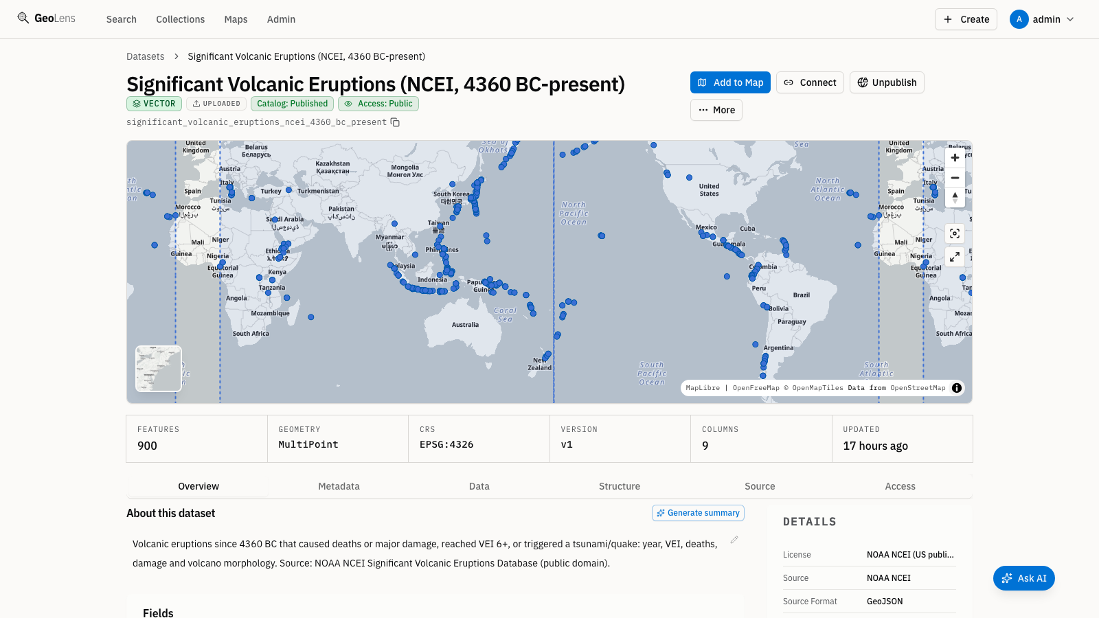
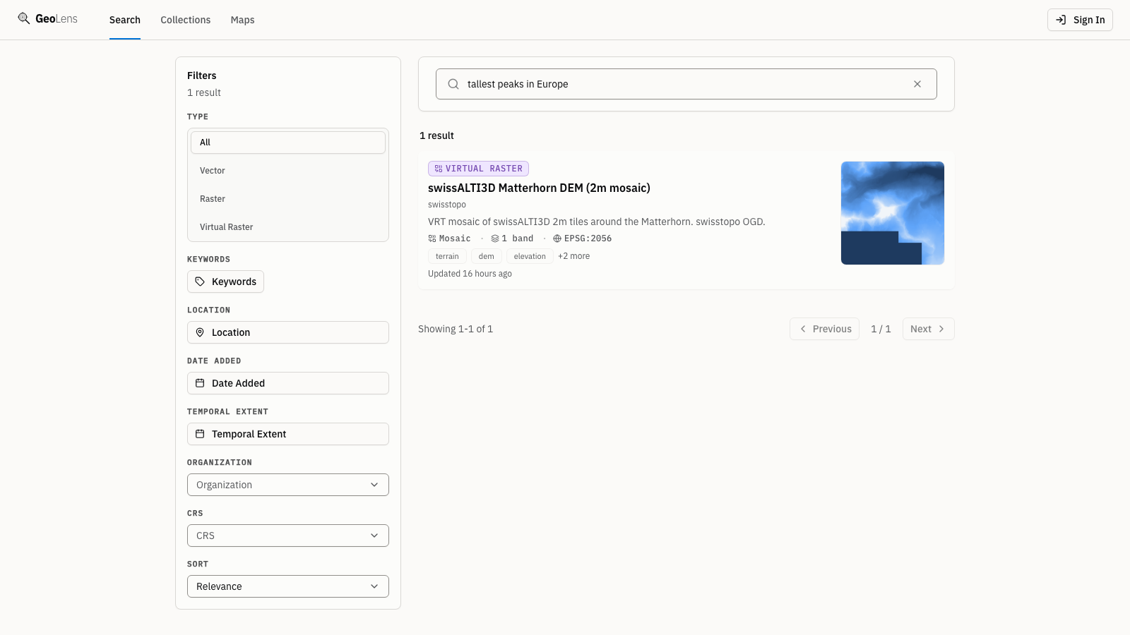
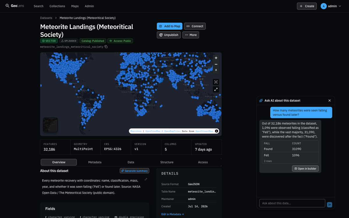
Transforming scattered spatial files into an interactive data catalog, GeoLens empowers engineering and GIS teams to organize geospatial assets, execute semantic searches, and build interactive 3D maps on self-hosted infrastructure. Users can ingest shapefiles, GeoJSON boundaries, database tables, and Cloud-Optimized GeoTIFF rasters into a centralized inventory with automatic source freshness auditing. Natural language queries evaluate dataset relevance across spatial boundaries and thematic tags, allowing analysts to uncover hydrology networks or zoning footprints without knowing exact layer names. The browser-based composition canvas lets cartographers extrude three-dimensional building footprints, overlay elevation terrain contours, color features by attribute values, and reorder layer hierarchies with drag-and-drop ease. Finished map projects publish immediately as secure shareable web links or responsive embeds for external dashboards. Desktop GIS operators can connect directly from QGIS or ArcGIS through native OGC API Features and STAC endpoints to query live vector tiles and run spatial filters. Teams can export filtered geometries into GeoPackage, FlatGeobuf, GeoParquet, or PMTiles archives to support downstream analysis workflows. Running on a dedicated VPS on RepoCloud with guaranteed CPU, RAM, and SSD, full root SSH access, and a browser serial console. Apache 2.0 licensed.
Benefits
- Unified Geospatial Asset Indexing
- Consolidates shapefiles, GeoJSON boundaries, PostGIS tables, and cloud raster buckets into an indexed spatial inventory with automated cadence checks that track dataset freshness and origin health.
- Semantic Natural Language Spatial Search
- Surfaces relevant datasets using vector similarity search paired with coordinate bounding boxes, enabling analysts to discover geographic assets by topic without requiring exact attribute keyword matches.
- Interactive Browser 3D Map Composition
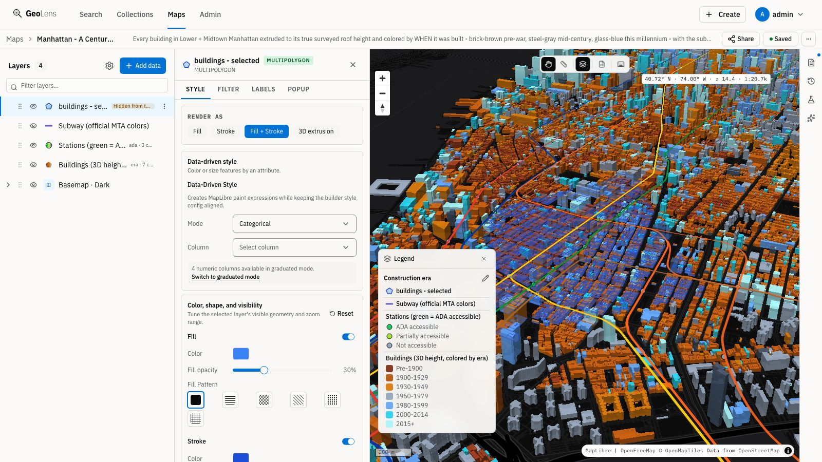
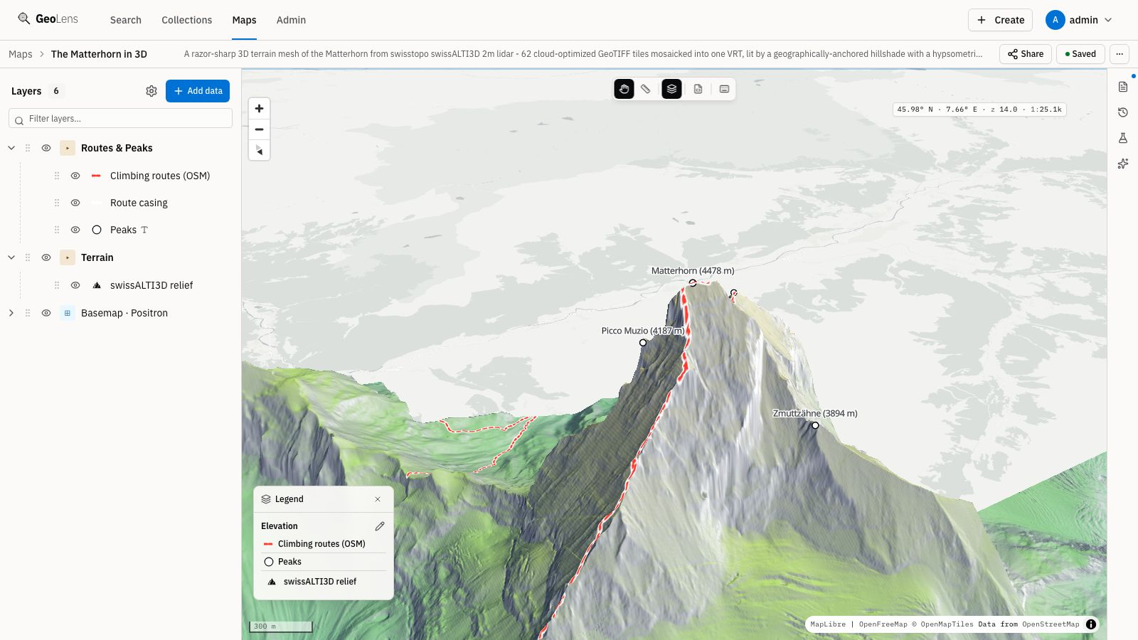
- Extrudes architectural footprints to real building heights, overlays multi-resolution digital elevation models, and styles vector geometries through intuitive visual controls without third-party GIS software.
- Open Standards Toolchain Interoperability
- Exposes OGC API Features, OGC API Records, and STAC API endpoints with server-side CQL2 filtering to stream vector tiles directly into desktop QGIS, ArcGIS, and custom web applications.
Features
- Multi-Format Vector Data Ingestion
- Converts uploaded GeoPackage, Shapefile, CSV, GeoJSON, and FlatGeobuf datasets into standardized spatial tables using GDAL and PostGIS geometry pipelines.
- Raster Tile Streaming Engine
- Serves dynamic map tiles from Cloud-Optimized GeoTIFF archives using Titiler and Valkey caching to deliver rapid pan and zoom rendering.
- Standard OGC and STAC APIs
- Implements OGC API Features with CQL2 spatial filtering and STAC catalog schemas to provide programmatic data access for automated GIS pipelines.
- Browser Map Builder Canvas
- Supports multi-layer styling, 3D terrain extrusion, custom color ramps, and attribute tooltips rendered in real-time through MapLibre GL.
- Comprehensive Spatial Data Export
- Exports curated layers into open formats including PMTiles, GeoParquet, FlatGeobuf, Shapefile, and GeoPackage for portable offline spatial analysis.