SaaS Alternative
Google Maps Platform Mapbox Directions API HERE Routing API GraphHopper Directions API TomTom Routing APIStars
Forks
Watchers
Developer links
GraphHopper
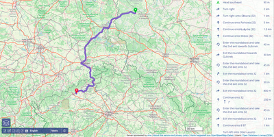
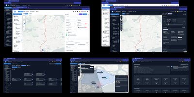
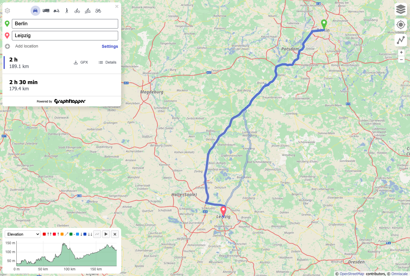
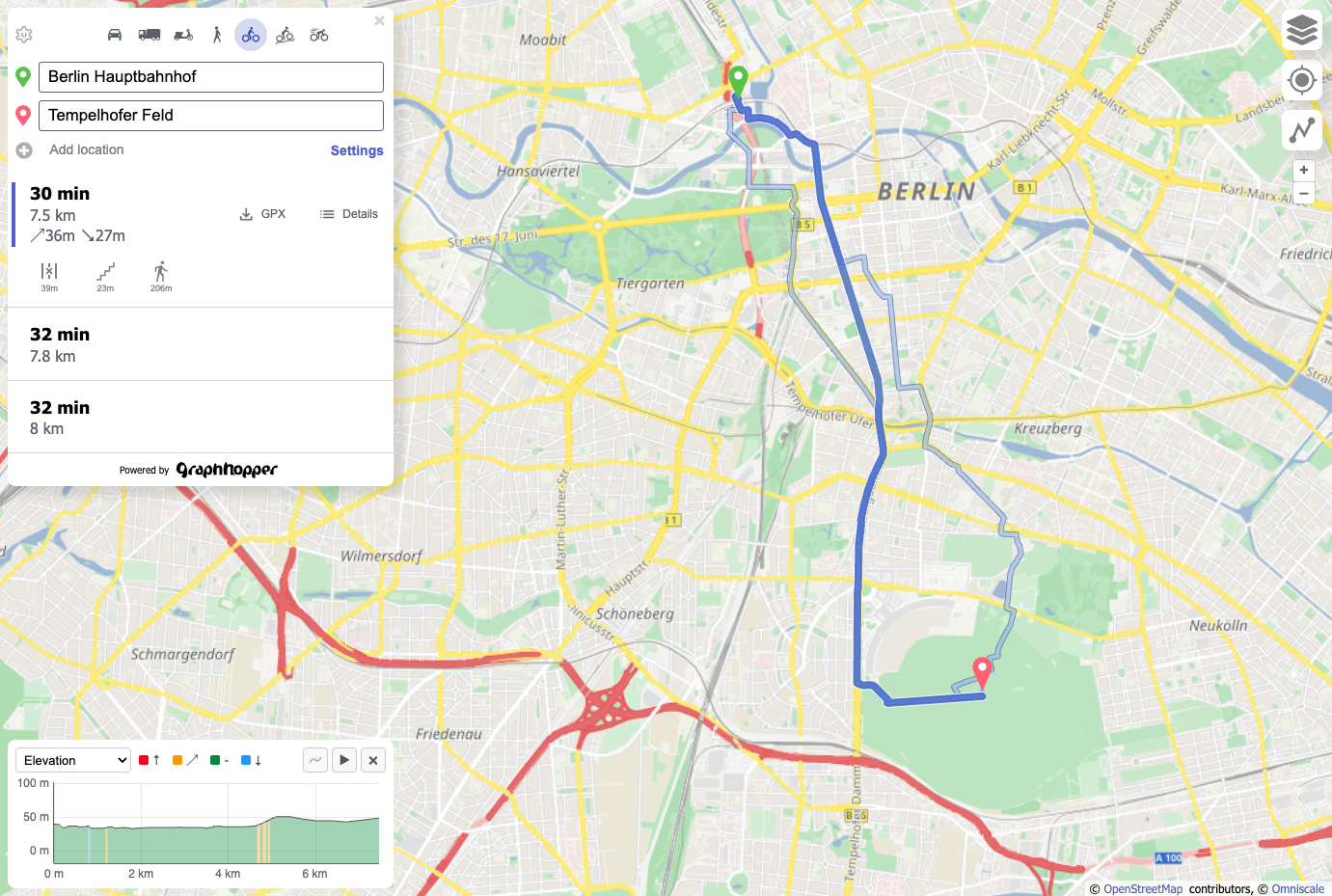
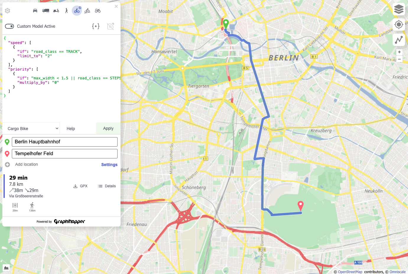
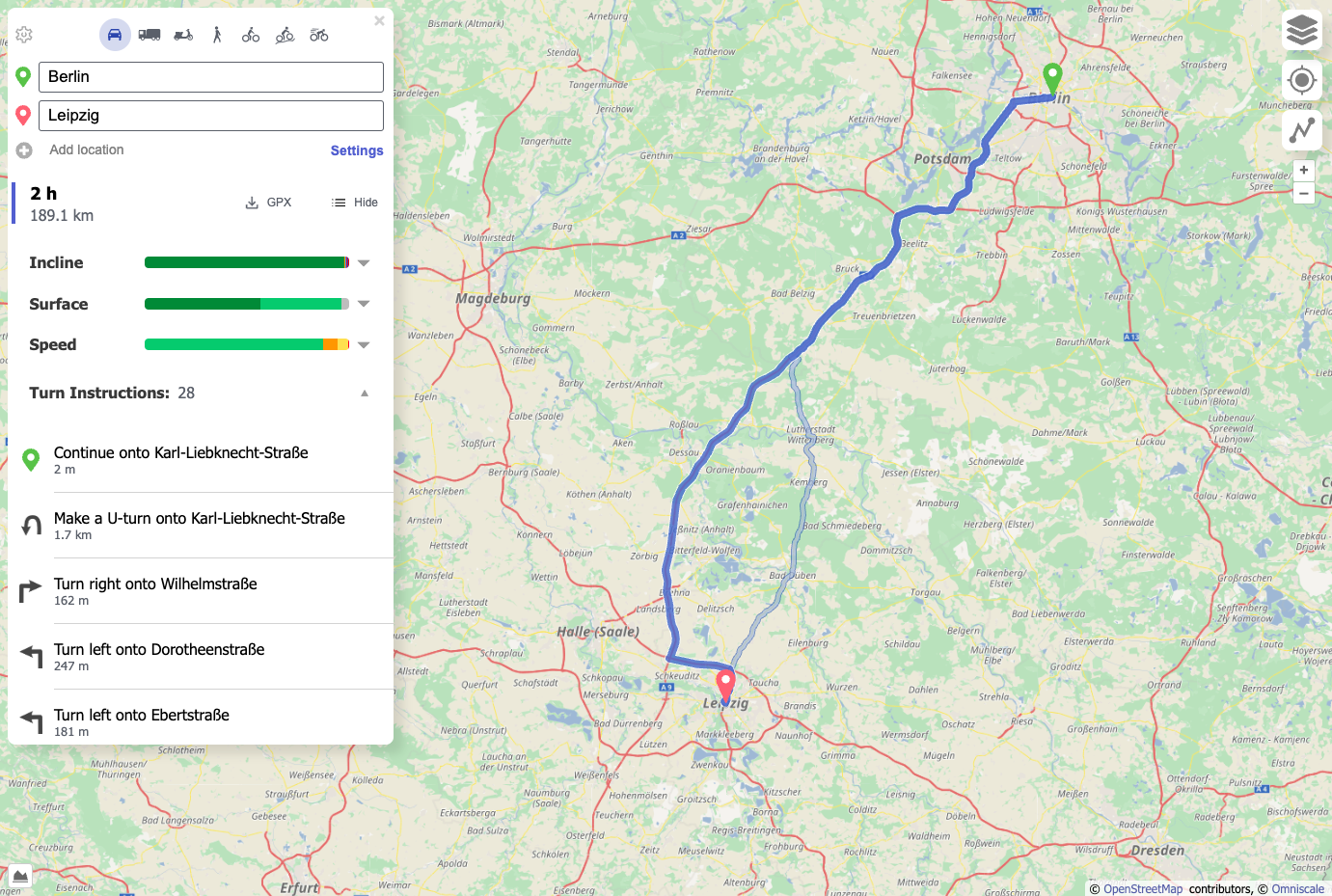
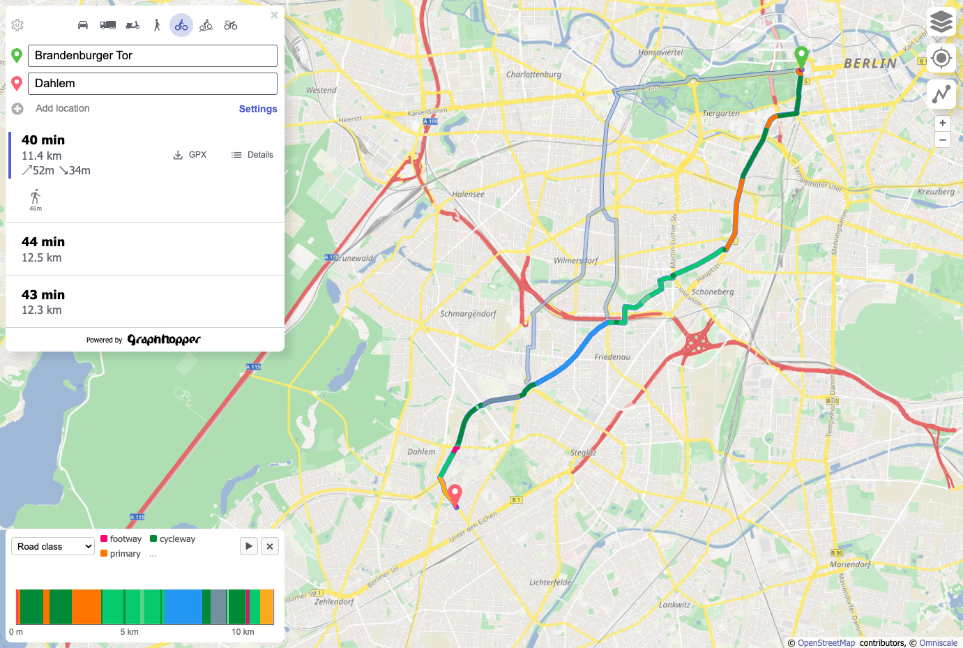
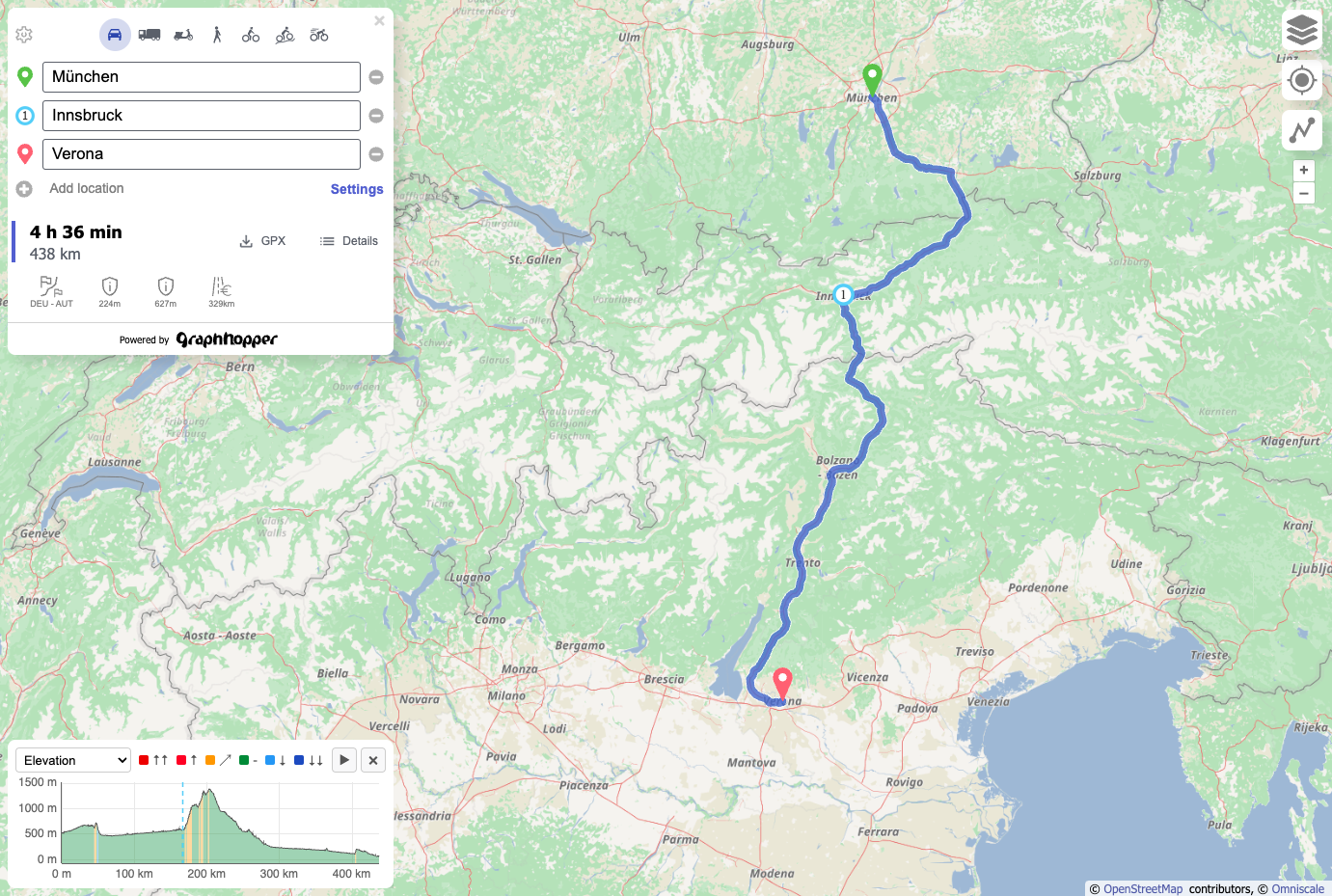
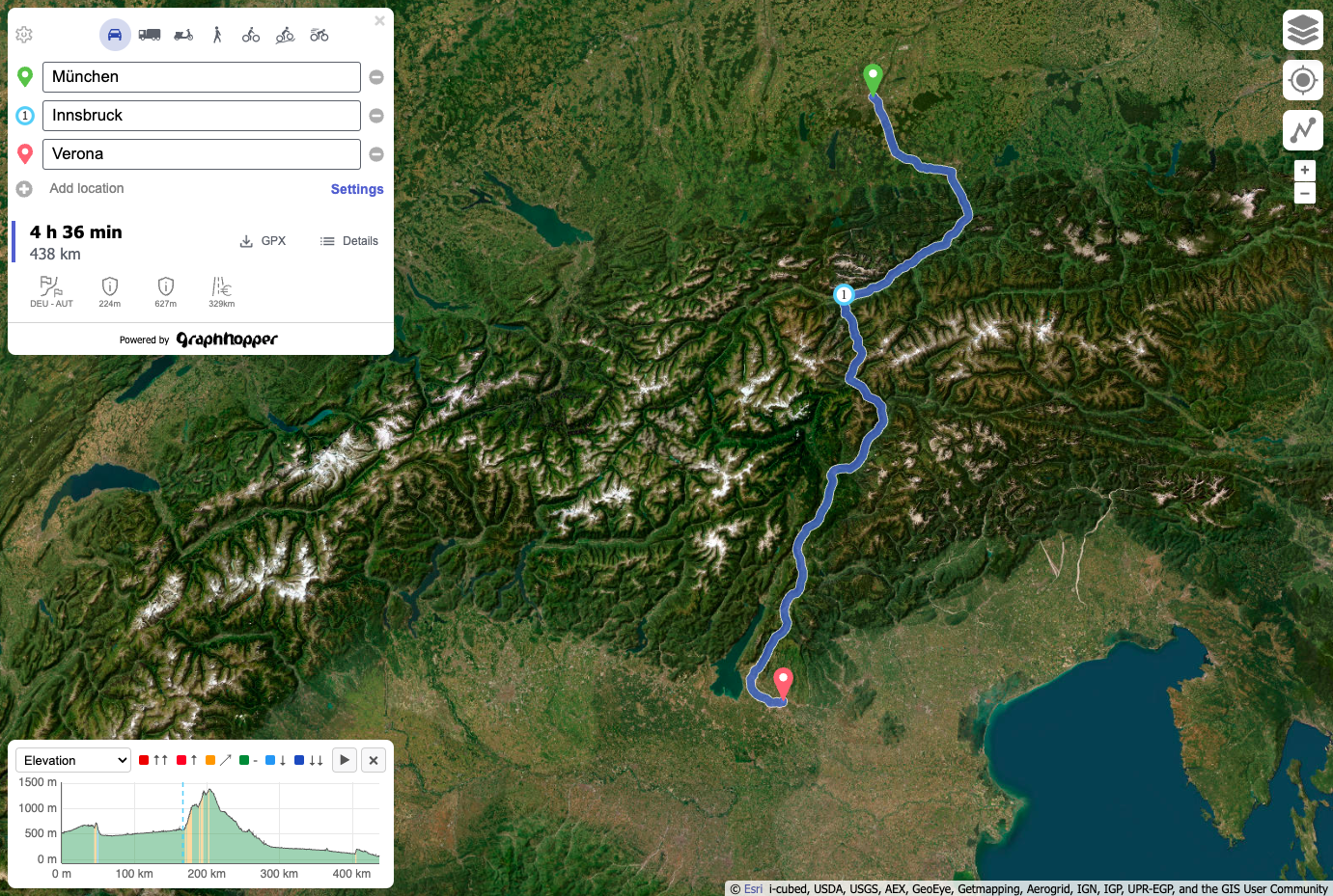
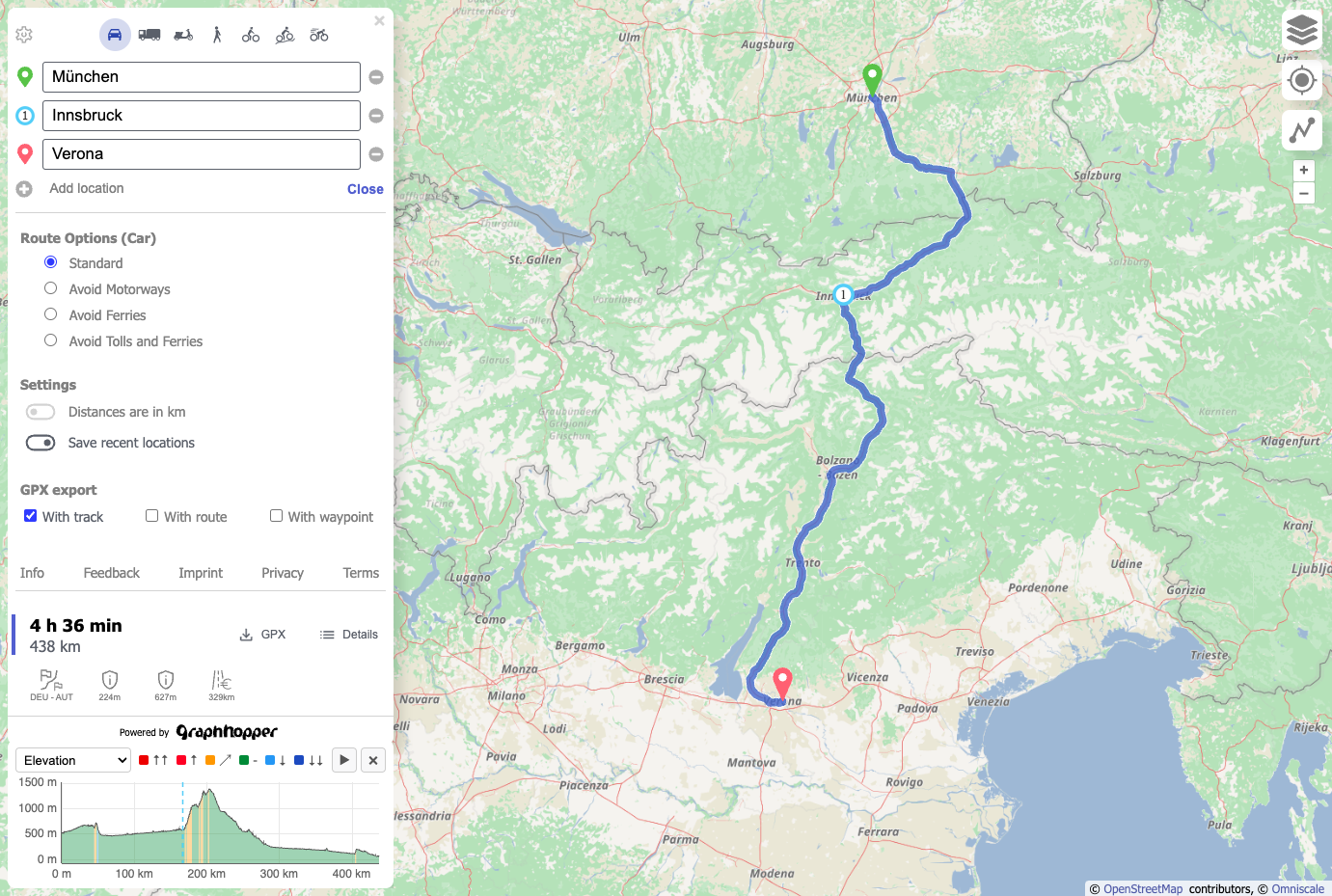
GraphHopper is a self-hosted routing engine that turns OpenStreetMap data into distances, travel times, and turn-by-turn instructions for cars, bikes, pedestrians, trucks, and buses, with no metered maps API in the loop. Download a regional OSM extract, start the server, and the bundled GraphHopper Maps planner answers on port 8989: right-click to drop route points, switch between profiles, compare alternative routes, and read the elevation profile beneath the map. Path details color a route by road class, surface, or maximum speed, and the instruction list reads in more than 45 languages. A JSON custom model editor reshapes any profile without code: cap speed on tracks, forbid stairs, shun motorways, or penalize an area you draw on the map. The HTTP API also serves isochrones by time or distance, shortest path trees, and map matching that snaps GPX traces to the road network. Add a GTFS feed for public transit journeys, or point a MapLibre or Ferrostar app at the navigate endpoint for mobile turn-by-turn guidance. Choose speed mode with Contraction Hierarchies for the quickest answers, hybrid mode when weights change per request, or flexible mode for fully custom rules. Running on a dedicated VPS on RepoCloud with guaranteed CPU, RAM, and SSD, full root SSH access, and a browser serial console. Apache-2.0 licensed.
Benefits
- Route Planning Without Per-Request Fees
- Directions, isochrones, and GPX map-matching requests are answered by your own server from OpenStreetMap data, so traffic spikes raise CPU load instead of an API invoice.
- Routing Rules You Can Rewrite
- Custom models are short JSON rules that change speed or priority by road class, width, surface, or drawn area, so a cargo bike, a delivery van, and an electric car each get realistic routes.
- Fast, Memory-Efficient Route Calculation
- Contraction Hierarchies preparation produces very quick, low-RAM answers. Landmark-based hybrid mode keeps per-request customization practical, and you can switch between any prepared mode at request time.
- Beyond Point-to-Point Directions
- One installation covers snap-to-road for GPS traces, reachability polygons, GTFS public transit trips, and a navigation endpoint for mobile apps, so fewer single-purpose services need hosting.
Features
- GraphHopper Maps Interface
- Bundled open-source web planner on port 8989 with waypoint editing, alternative routes, GPX export, an elevation chart, and a detail panel listing every turn instruction.
- Custom Model Editor
- JSON rules adjust speed and priority per road class, width, or area; ready-made examples include Cargo Bike, Exclude Motorway, Avoid Bridges & Tunnels, and Simple Electric Car.
- Isochrones and Shortest Path Trees
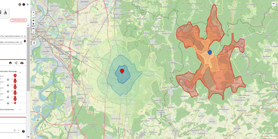
- The /isochrone endpoint returns nested reachability polygons by time or distance limit, optionally reversed to show who can reach a point; /spt returns a point list instead.
- GPX Map Matching
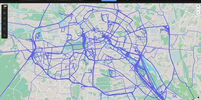
- POST a GPX trace to /match, or upload it on the map-matching page, and receive the track snapped to roads as GPX or JSON via hidden Markov model matching.
- GTFS Public Transit Routing
- Import a GTFS feed next to OpenStreetMap walking data for time-dependent journeys, with the earliest-arrival route highlighted beside fewer-transfer alternatives and a walk-only option.
- Mobile Navigation Endpoint
- The /navigate service returns JSON that the MapLibre Navigation SDK or the Ferrostar SDK can consume, supplying the server half of a turn-by-turn mobile navigation app.