Stars
Forks
Watchers
Developer links
Wanderer
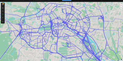
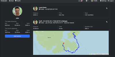
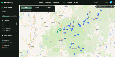
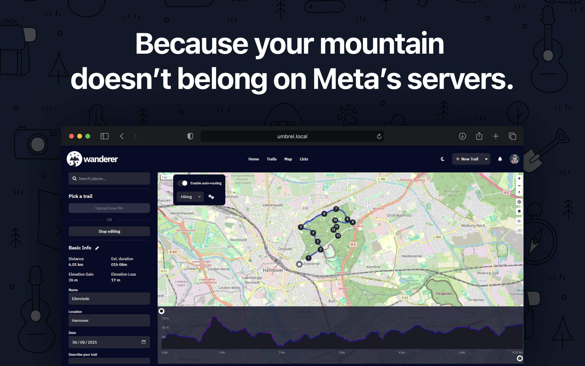
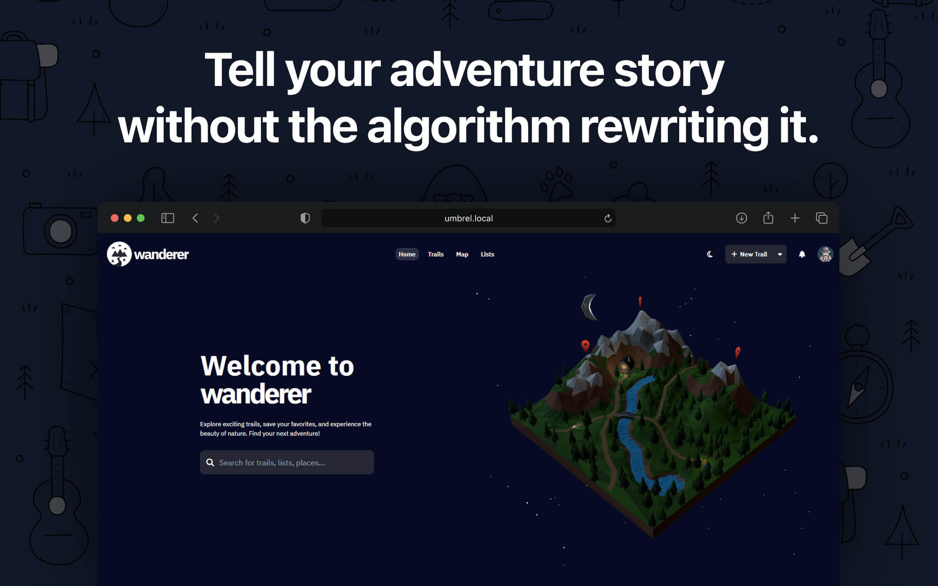
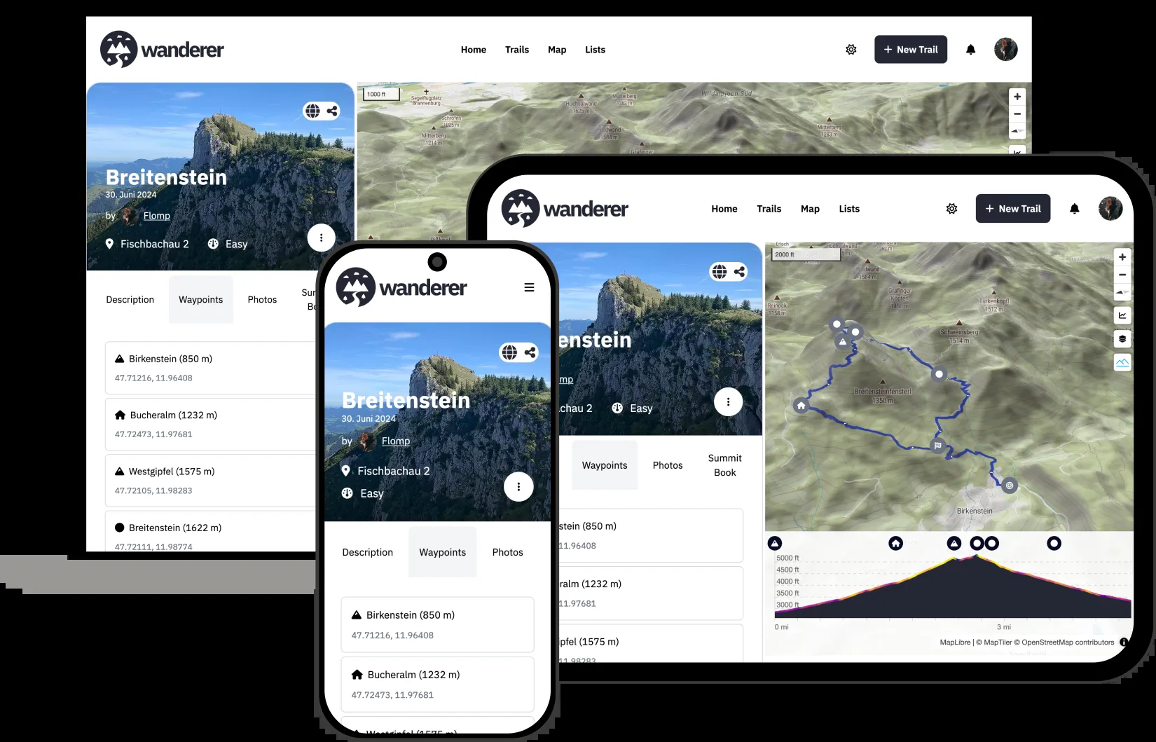
Wanderer provides a privacy-first alternative to AllTrails and Komoot, giving outdoor enthusiasts complete ownership of their GPS data on a self-hosted server. The platform accepts uploads in GPX, KML, FIT, and TCX formats, automatically extracting distance, elevation gain and loss, duration, and speed statistics to build a searchable trail catalogue. The built-in route planner uses the Valhalla routing engine to calculate hiking, cycling, and walking routes directly on the map, while MapLibre GL renders smooth vector tiles from OpenStreetMap data with configurable tile sources and overlay layers. Each trail supports rich metadata including difficulty ratings, categories, waypoints with descriptions, photo galleries, and summit log entries that track completion dates with optional GPS data. Meilisearch powers instant full-text search across trail names, descriptions, and tags, complemented by map-based spatial filtering and advanced date, distance, and elevation filters. The ActivityPub integration follows the same federation protocol as Mastodon, allowing users to follow explorers on other Wanderer instances and see their public trails, comments, and summit logs in a unified feed without requiring cross-instance accounts. The WASM-based plugin system enables third-party extensions for custom integrations. The Docker Compose stack runs three containers — SvelteKit frontend on port 3000, PocketBase backend with embedded SQLite, and Meilisearch — with startup completing in under 90 seconds. On RepoCloud, deploy Wanderer on a dedicated VPS with root SSH access, persistent storage for your trail database and uploaded photos, and complete control over routing, geocoding, and tile server configurations, all under the AGPL v3 license.

Benefits
- Complete GPS Data Ownership
- All trail data, photos, and summit logs live on your server in your database with no vendor lock-in, no terms-of-service changes, and open-format export at any time.
- Federated Trail Discovery
- ActivityPub federation lets you follow explorers on other Wanderer instances, with their public trails, comments, and summit logs appearing in your feed without cross-instance accounts.
- Professional Route Planning Tools
- Valhalla routing engine calculates optimized hiking, cycling, and walking routes with reorderable anchor points, route cropping, undo and redo, and real-time elevation profile rendering.
- Instant Full-Text Trail Search
- Meilisearch indexes trail names, descriptions, and tags for sub-millisecond search results, complemented by map-based spatial filtering and advanced date and distance filters.
Features
- Multi-Format Import
- Upload GPX, KML, FIT, and TCX files with automatic extraction of distance, elevation, duration, speed, and route geometry for instant cataloguing.
- Interactive Vector Maps
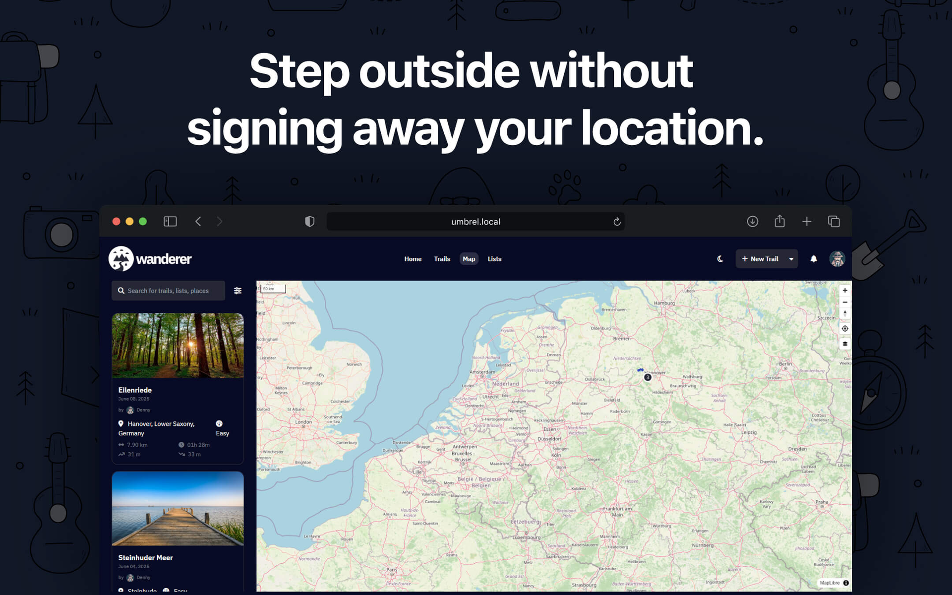
- MapLibre GL renders smooth OpenStreetMap vector tiles with configurable sources, overlay layers, points of interest via Overpass API, and Nominatim geocoding.
- Summit Logs and Statistics
- Track trail completions with GPS-attached summit log entries and view filterable profile statistics for distance, elevation, and activity metrics over time.
- Photo Galleries and Waypoints
- Attach geotagged photos and descriptive waypoints to any trail, building rich visual documentation of routes and points of interest.
- Docker Compose Deployment
- Three-container stack with SvelteKit frontend, PocketBase backend, and Meilisearch search engine, launching in under 90 seconds via a single compose command.