SaaS Alternative
Google Maps Directions API Mapbox Directions API HERE Routing API GraphHopper Directions API OpenRouteService APIStars
Forks
Watchers
Developer links
OSRM
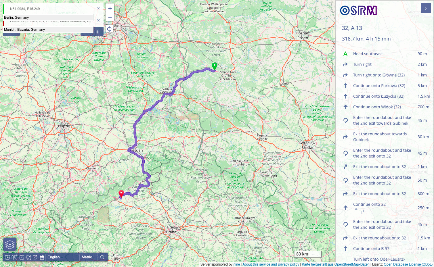
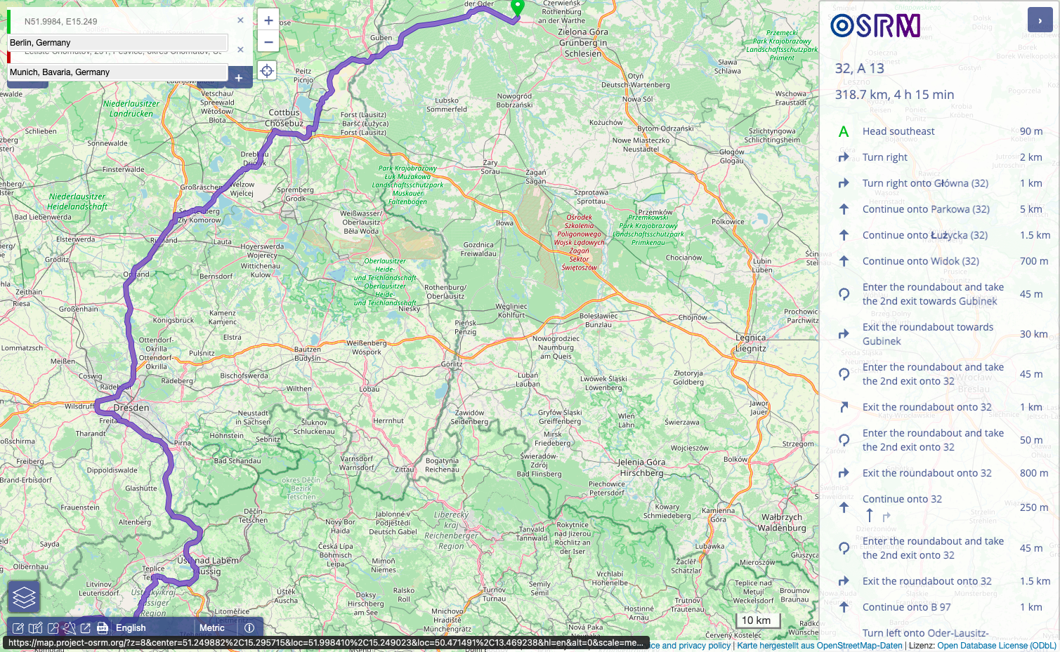
OSRM computes the fastest route between any two points, the travel time between every pair of stops, and the road a noisy GPS trace really followed, all from OpenStreetMap data on your own server. Feed it a map extract for your city or the whole planet, preprocess it with the car, bicycle, or foot profile, and the HTTP API starts answering. The route service returns turn-ready paths with distances, durations, and geometry between any coordinates. The table service computes the full duration or distance matrix between all pairs of points, which is the raw material for dispatching, territory planning, and pickup optimization. Map matching snaps noisy GPS traces onto the road network in the most plausible way, cleaning fleet and fitness data into actual driven streets. The trip service orders a set of stops into an efficient round trip, and the nearest service snaps raw coordinates to the closest road segments. A tile service exposes routing metadata as vector tiles for debugging and visualization, and a public demo frontend shows routes on a live map. Running on a dedicated VPS on RepoCloud with guaranteed CPU, RAM, and SSD, full root SSH access, and a browser serial console. BSD-2-Clause licensed.
Benefits
- Routing Without Per-Call Fees
- Commercial routing APIs charge per request and throttle growth. Your own OSRM answers unlimited route and matrix queries at wire speed, and your location data never leaves your infrastructure.
- Matrices For Real Optimization
- The table service prices every pair of stops in one request, so dispatchers, delivery planners, and territory tools can optimize assignments on true road durations instead of straight lines.
- GPS Traces Become Roads
- Map matching cleans noisy traces into the streets actually traveled, which powers accurate mileage, fleet history, and arrival analysis that raw dots on a map cannot tell you.
- Planet Scale, Millisecond Answers
- Preprocessing with contraction hierarchies or multi-level Dijkstra bakes the road graph into a structure that answers continental routes in milliseconds from ordinary server memory.
Features
- Route Service
- Fastest paths between coordinates with distance, duration, and route geometry, tuned by the car, bicycle, or foot profile used when the map extract was processed.
- Table Service
- Duration and distance matrices between all pairs of supplied coordinates in a single request, built for dispatching, scheduling, and optimization workloads.
- Map Matching Service
- Snaps sequences of GPS points to the most plausible road path, returning the matched route and confidence for trace cleaning and trip reconstruction.
- Trip Service
- Solves round trip ordering across a set of stops with a greedy traveling salesman heuristic, returning an efficient visiting order and its full route.
- Nearest And Tile Services
- Nearest snaps coordinates to the closest road segments with bearings, and the tile service renders vector tiles carrying internal routing metadata.
- Docker Preprocessing Pipeline
- Official images run osrm-extract, osrm-partition, and osrm-customize on Geofabrik extracts, then osrm-routed serves the result on port 5000.