Stars
Forks
Watchers
Developer links
Dekart
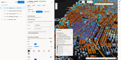
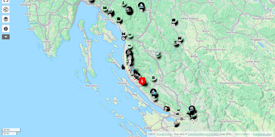
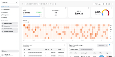
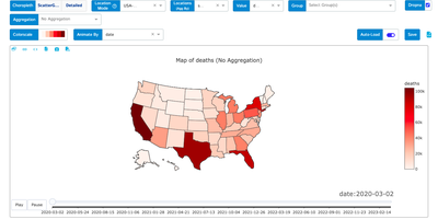
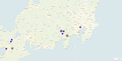
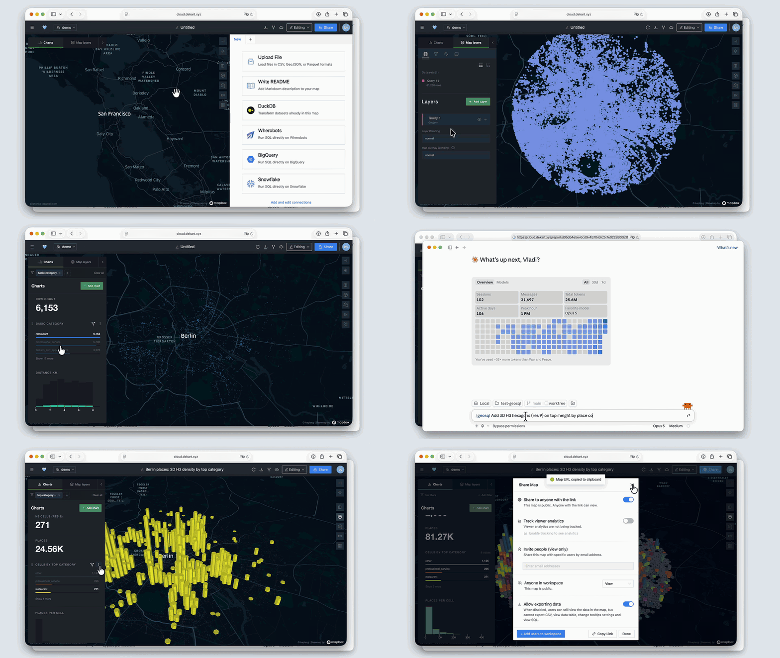
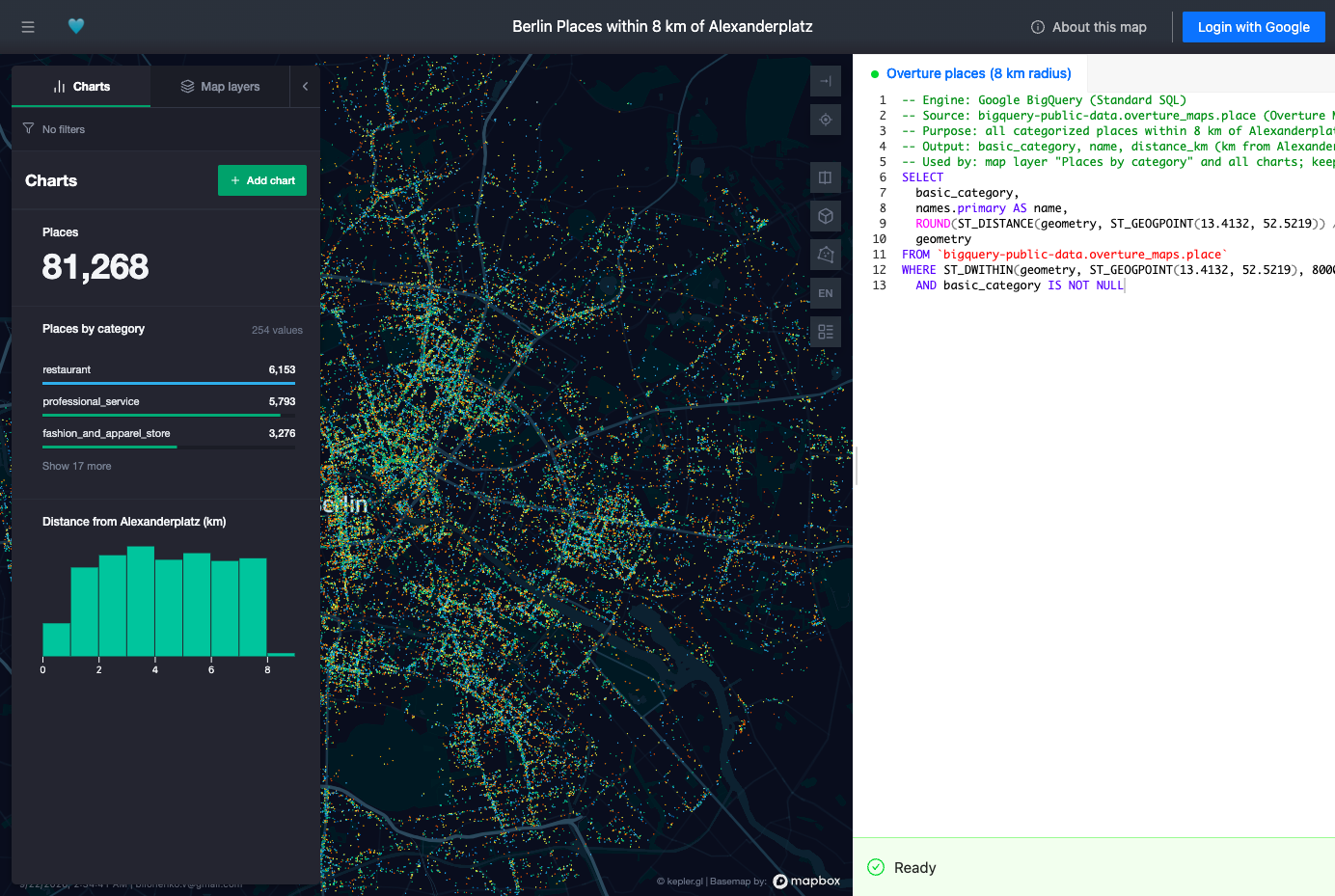
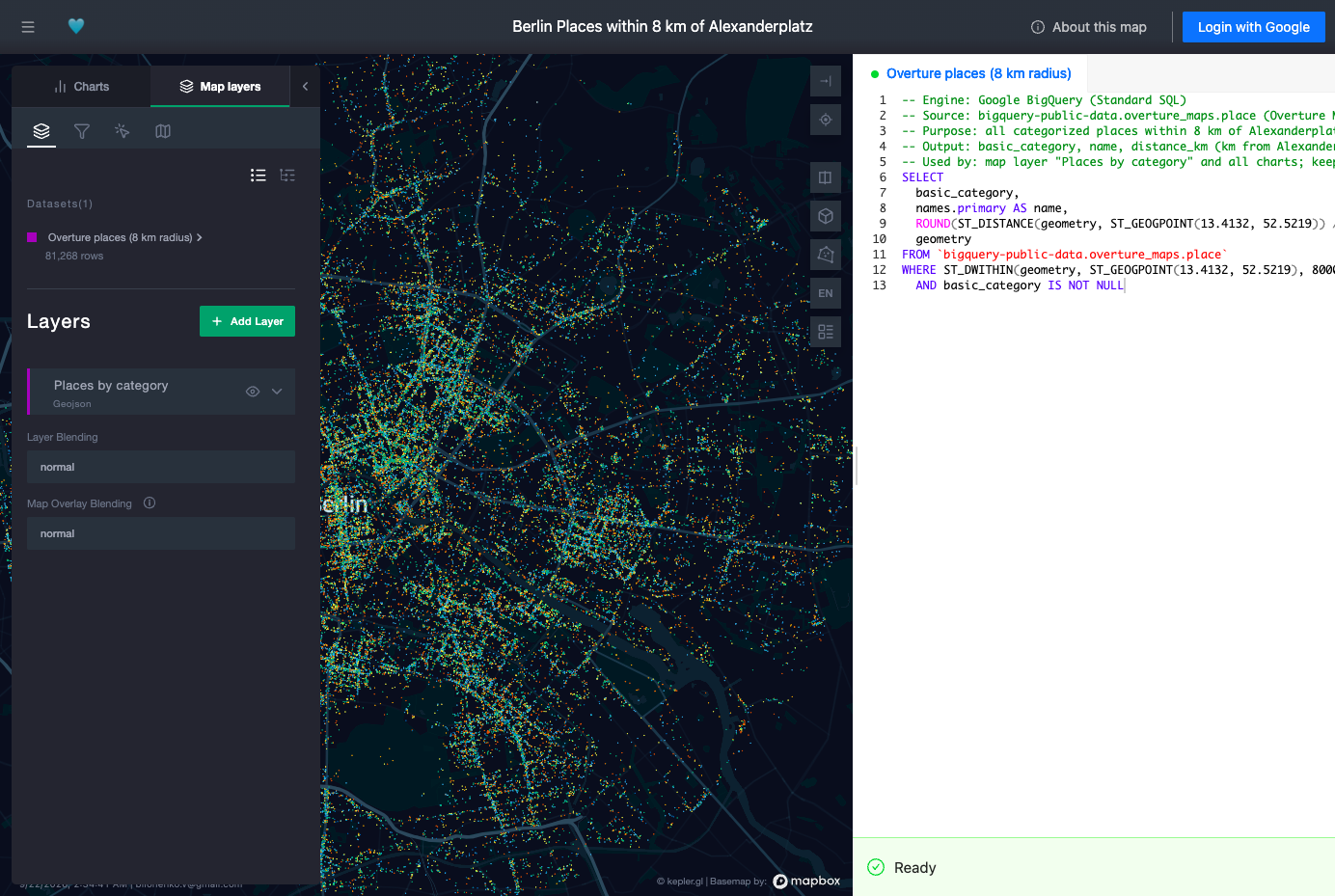
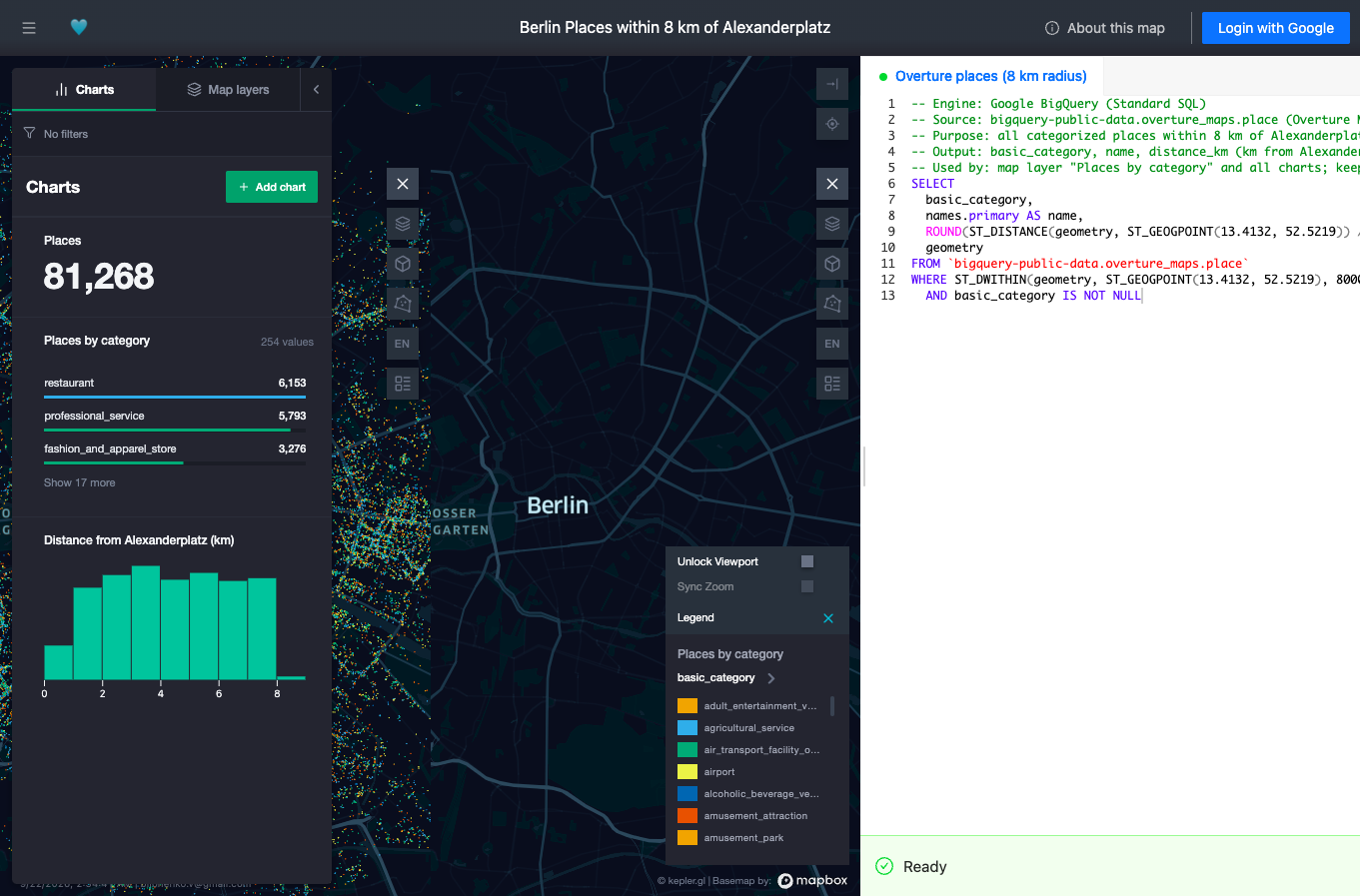
Dekart turns SQL queries against your data warehouse into interactive maps and charts you can share with a link. Connect Postgres, BigQuery, Snowflake, Wherobots, or DuckDB, write a query, and the results render as WebGL map layers that stay responsive even at a million points. Layers stack: put places in one, boundaries in another, add H3 hexagon aggregations where raw points would turn into soup, and tune colors and styles until the pattern you suspected in the table becomes obvious on the map. Interactive charts sit beside the map and move with it, so filtering a distance histogram or a category breakdown updates the geography at the same time. Query parameters let viewers change inputs like radius or date range without touching SQL, which makes one report serve a whole team. Maps share through private links, so a stakeholder opens the live result instead of receiving a stale screenshot in a slide deck. Uploading a CSV, GeoJSON, or Parquet file is enough for a quick one-off, and Markdown reports add explanation next to the data. AI agents can join in through the MCP interface to build and refine maps from natural-language requests. Single sign-on through Google OAuth, Keycloak, Cognito, or IAP keeps access governed, and the whole application runs as one Docker container with built-in storage for zero-configuration starts. Running on a dedicated VPS on RepoCloud with guaranteed CPU, RAM, and SSD, full root SSH access, and a browser serial console. AGPL-3.0 licensed.
Benefits
- Maps straight from SQL
- Analysts write queries against the warehouse they already use and see results on a map immediately, skipping exports, GIS desktop tools, and screenshot-based reporting cycles.
- A million points, still interactive
- WebGL rendering keeps large geospatial results responsive in the browser, with H3 aggregation available when raw points need summarizing instead of overwhelming the map.
- Share live maps, not slides
- Private links give stakeholders the current map with working filters and parameters, so decisions use today's data rather than last week's exported image.
- One container to run
- Dekart deploys as a single Docker application with built-in SQLite metadata storage, scaling up later with Postgres and object storage backups when the team grows.
Features
- Warehouse connectors
- Native connections to Postgres, BigQuery, Snowflake, Wherobots, and DuckDB let SQL run where the data already lives, plus CSV, GeoJSON, and Parquet uploads.
- Layered WebGL maps
- Multiple map layers with styling controls and H3 hexagon aggregation render up to a million points responsively, turning raw spatial tables into readable patterns.
- Interactive charts
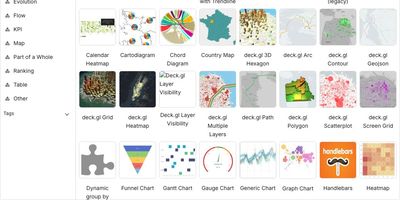
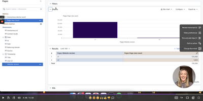
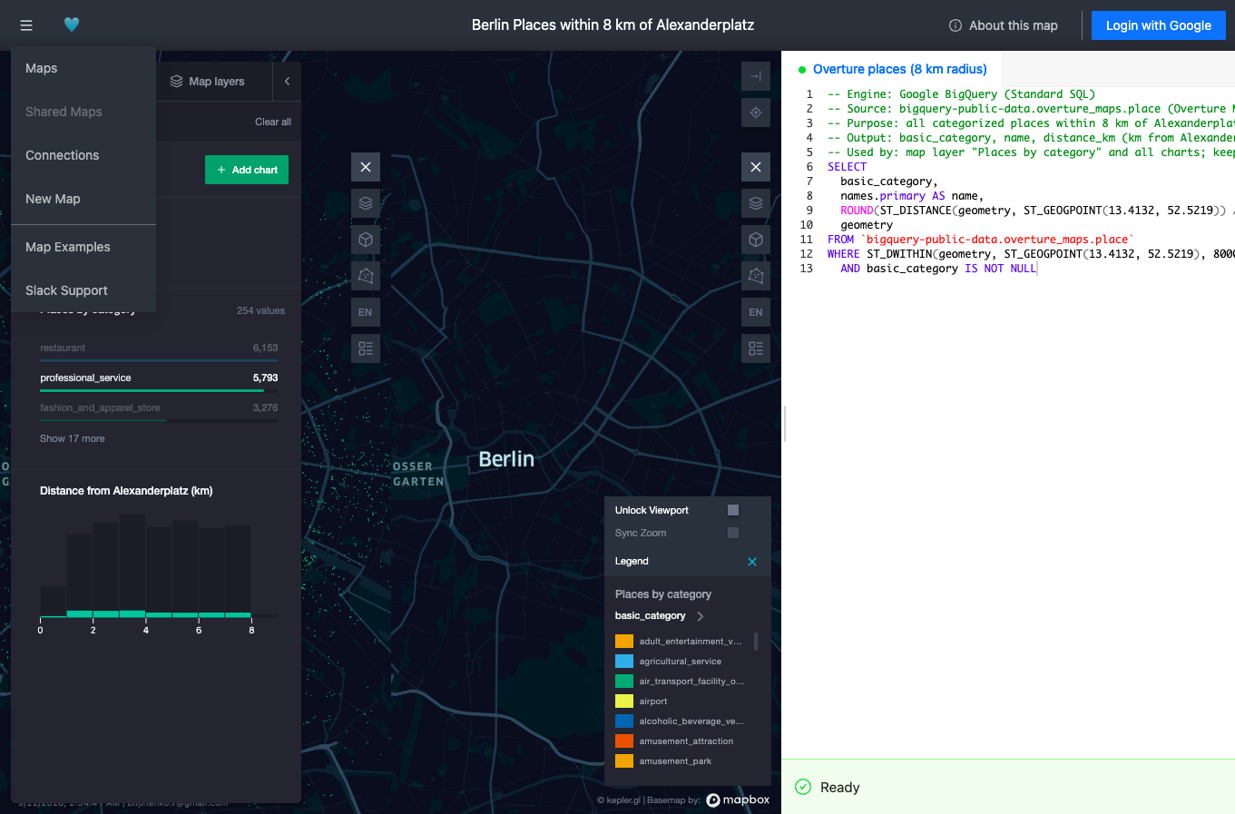
- Charts linked to the map update as you filter, combining category breakdowns, histograms, and geography in one report instead of separate dashboard tools.
- Query parameters
- Reports expose inputs such as radius, category, or date range to viewers, who explore variations without editing SQL or asking an analyst for a rerun.
- Private link sharing
- Maps publish through shareable private links with Markdown explanations attached, replacing static exports with live, governed access for stakeholders.
- SSO and MCP access
- Google OAuth, Keycloak, AWS Cognito, and Google IAP provide single sign-on, while the MCP interface lets AI agents create and improve maps programmatically.