Categories
Self-Hosted Web GIS Web Mapping Spatial Data Management QGIS Integration Geospatial Data GIS Server OGC ServicesStars
Forks
Watchers
Developer links
NextGIS Web
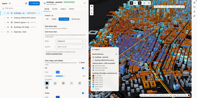
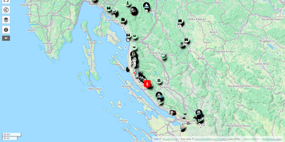
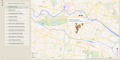
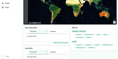
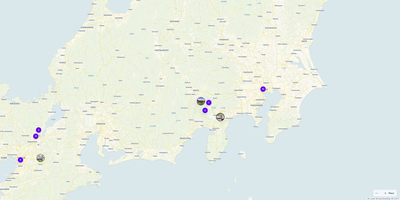
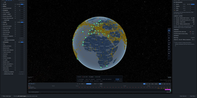
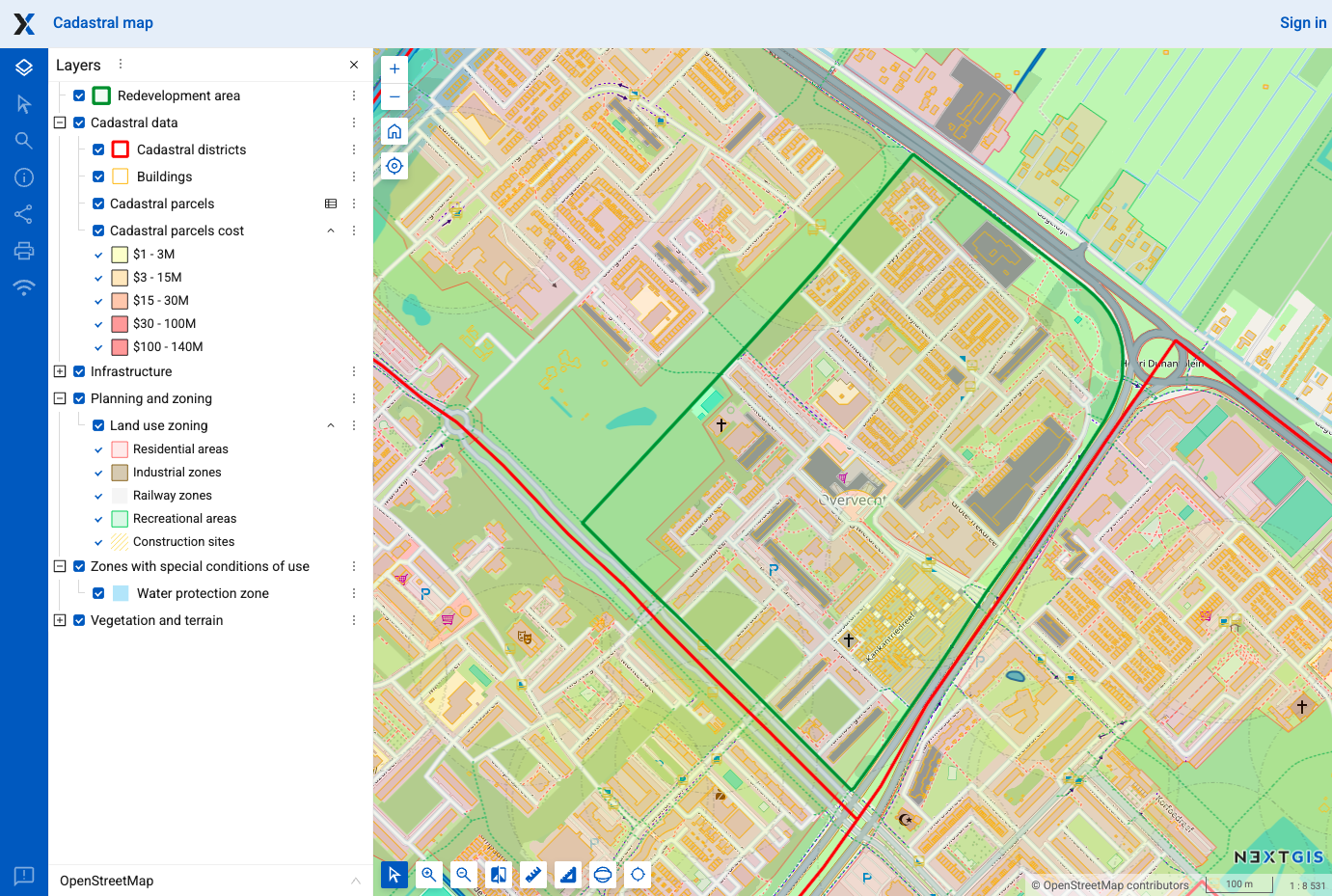
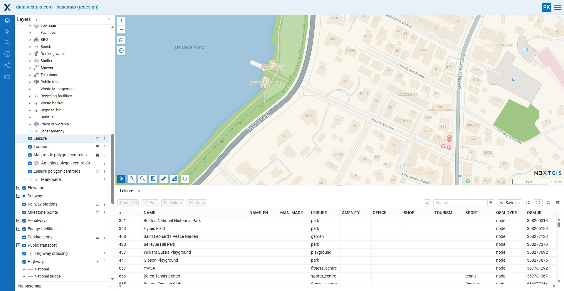
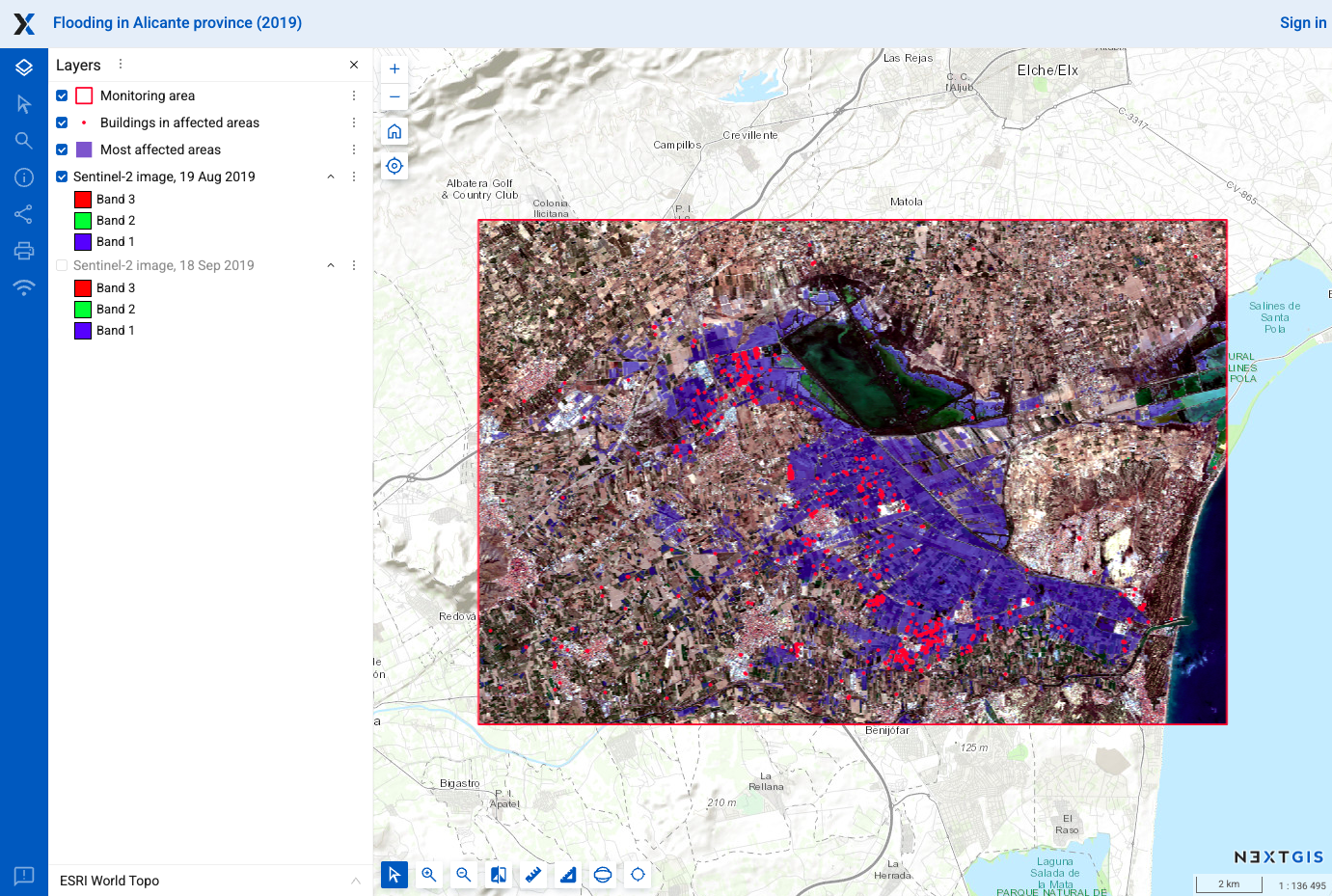
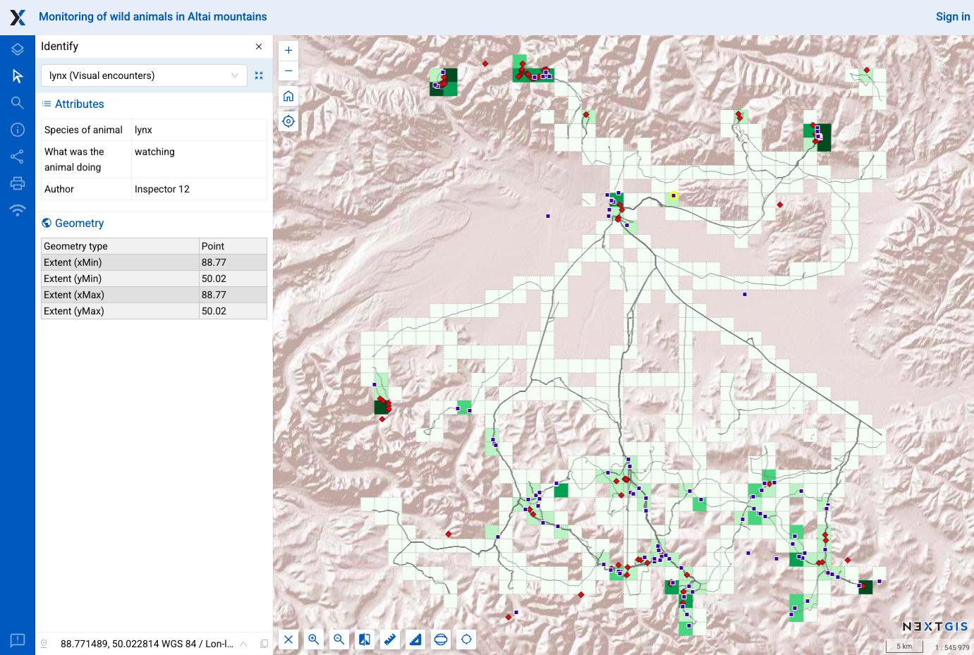
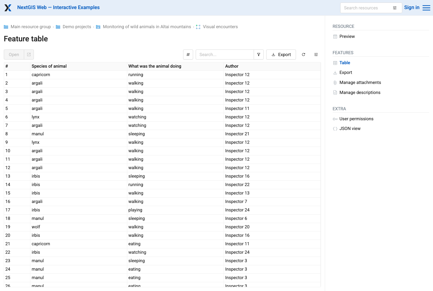
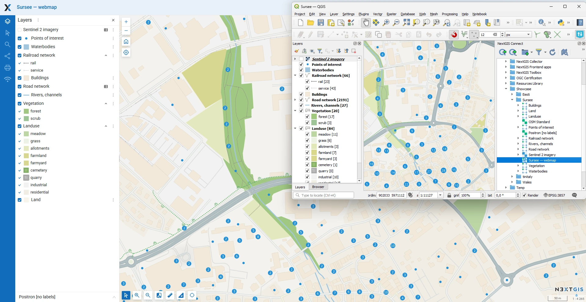
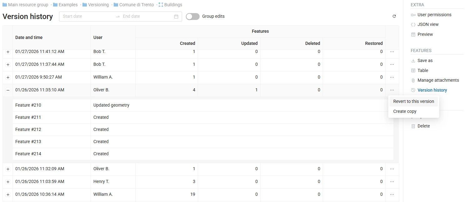
NextGIS Web turns shapefiles, GeoTIFFs, and QGIS projects into shareable web maps on your own server, with no per-seat GIS license to buy. Upload ESRI Shapefile, GeoJSON, GeoPackage, KML, CSV, or GeoTIFF files, or connect an external PostGIS database, then style layers with QGIS styles so web maps match the desktop project. Visitors can search, filter, measure, print, and embed maps on other sites, while editors draw or move points, lines, and polygons, type in coordinates, and snap to existing geometry without leaving the browser. Vector layers keep a history of who changed what and when, so a bad edit can be rolled back and a snapshot of the data at a chosen point in time can be recovered. Layers can be published as WMS, WMTS, WFS, OGC API Features, raster tiles, vector tiles, or Cloud Optimized GeoTIFF, and third-party TMS, WMS, and WFS services can be pulled into the same maps. With the NextGIS Connect plugin, QGIS users publish projects and edit server data directly, so a whole team works on one shared dataset. Permissions are granted to users and groups down to a single layer or map, and Galleries collect the key maps into one landing page. A REST API covers users, layers, services, maps, and permissions, and JavaScript libraries help developers build custom map applications. Running on a dedicated VPS on RepoCloud with guaranteed CPU, RAM, and SSD, full root SSH access, and a browser serial console. GPL-3.0 licensed.
Benefits
- One Server for Maps and Data
- Store vector and raster layers, connect external PostGIS databases, and publish web maps from a single server, so GIS data, styles, and access rules stay in one place.
- QGIS Styles Drive Web Maps
- QGIS styles control how layers render on web maps, and the NextGIS Connect plugin publishes projects and edits server data, so desktop cartographers and web viewers share one source of truth.
- Every Edit Tracked and Reversible
- Feature versioning records who changed which vector features and when, so administrators can audit edits, roll back mistakes, and recover a snapshot of the data at a chosen point in time.
- Standards-Based Access for Any Client
- Layers are served as WMS, WMTS, WFS, OGC API Features, and tiles, so QGIS, web mapping libraries, and other GIS software can consume data without custom connectors.
Features
- Interactive Web Maps
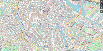
- Build unlimited web maps with layer groups, search, filtering, measurements, printing, and embedding, plus on-map editing with snapping and coordinate entry for points, lines, and polygons.
- OGC Services and Tiles
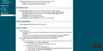
- Publish layers as WMS, WMTS, WFS, and OGC API Features endpoints, raster or vector tiles, and Cloud Optimized GeoTIFF, and consume external TMS, WMS, and WFS services.
- Data Formats and PostGIS
- Upload ESRI Shapefile, GeoJSON, GeoPackage, GML, KML, CSV, XLSX, and GeoTIFF files, or connect external PostGIS databases, TMS services, and WMS servers as live layers.
- Fine-Grained Permissions
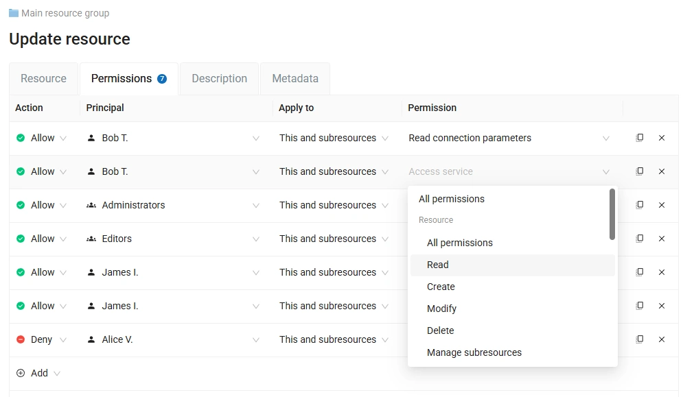
- Create users and groups, then grant read, write, or administrative permissions down to a single layer, service, or web map, and share maps publicly or only with named teams.
- REST API and JavaScript SDK
- Automate users, layers, services, maps, and permissions through a documented REST API, and build custom map applications with the NextGIS JavaScript libraries.
- Attachments and Galleries
- Attach photos and documents to vector features and preview them on web maps, and group key maps into Gallery landing pages for easy sharing.