Stars
Forks
Watchers
Developer links
Dawarich
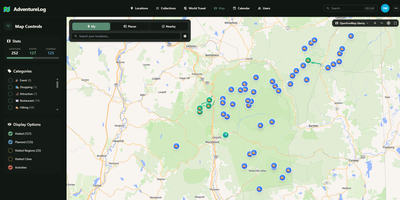
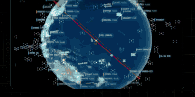
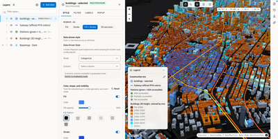
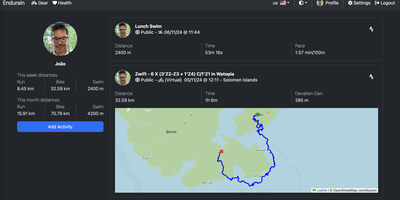
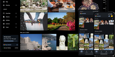
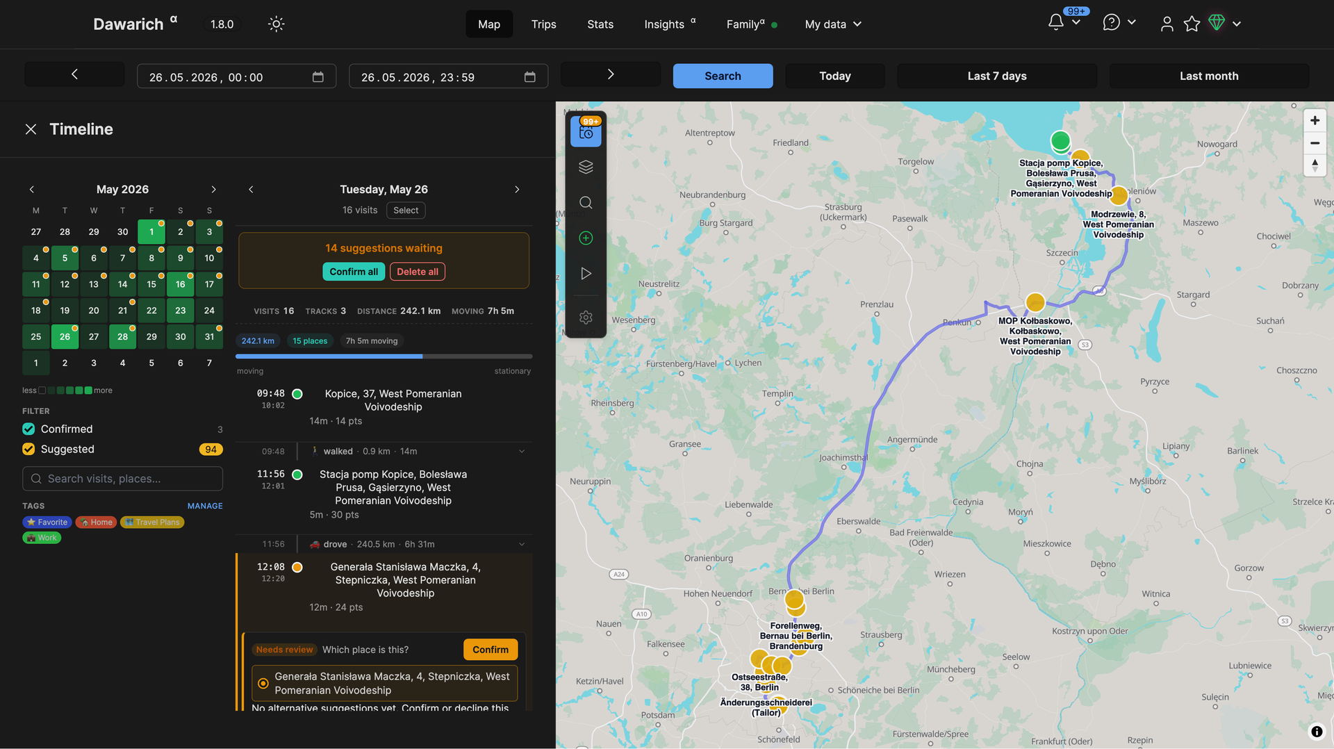
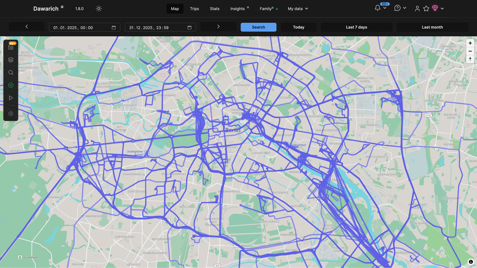
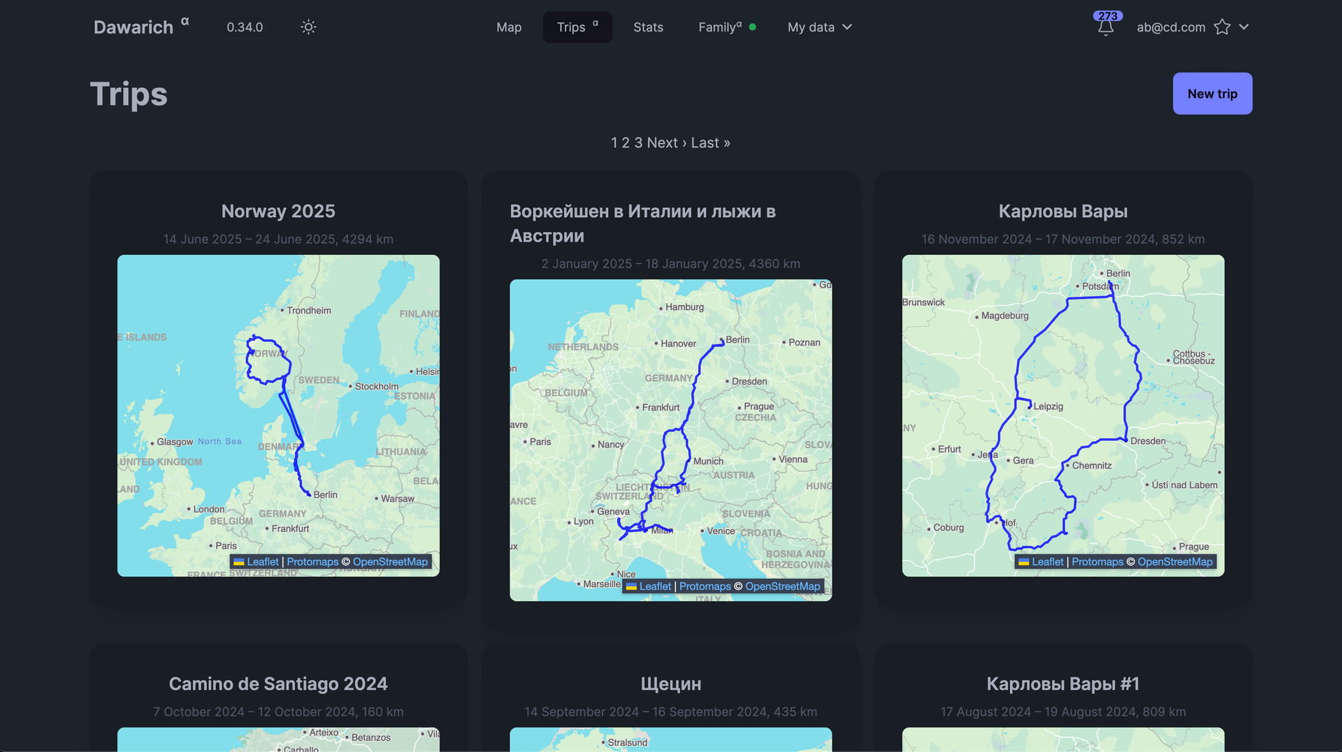
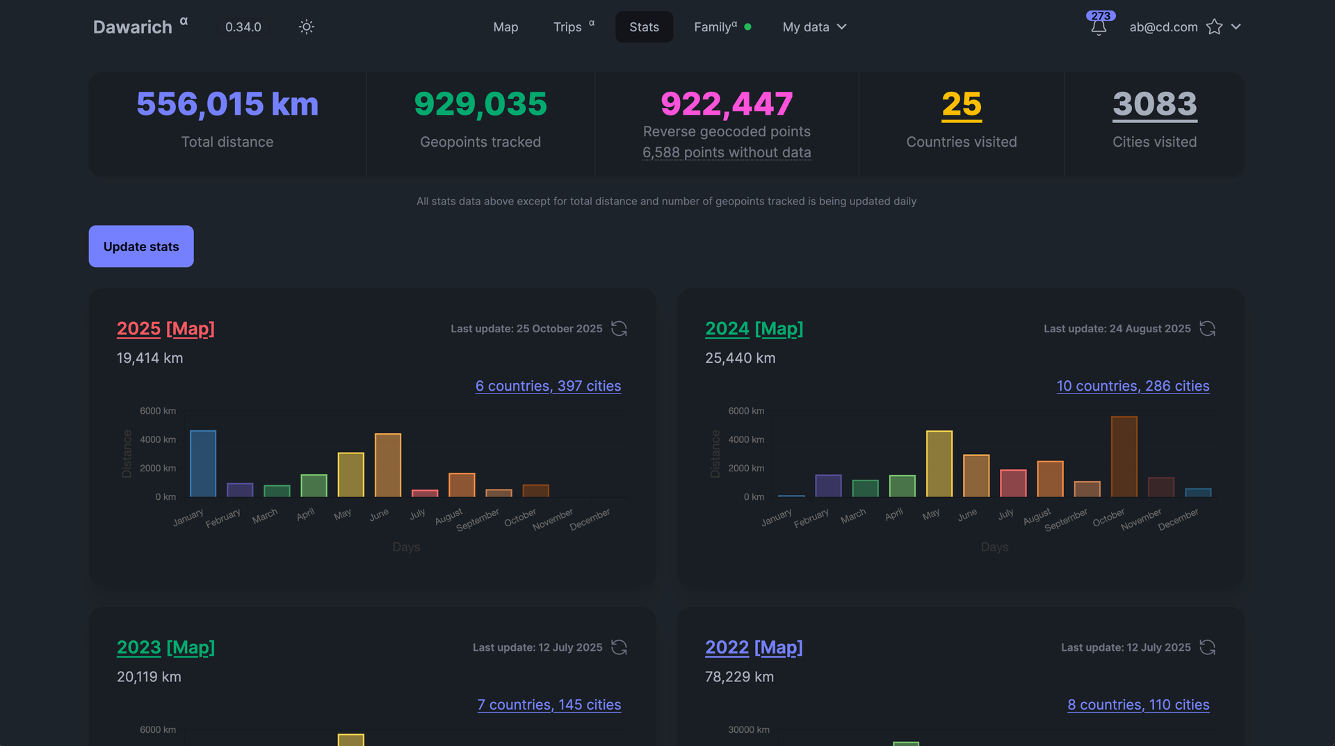
With over 9,000 GitHub stars earned since Google killed its browser-based Timeline, Dawarich fills the gap with a fully self-hosted location history platform that keeps your movement data under your control. Built on Ruby on Rails 8.0 with PostgreSQL and the PostGIS spatial extension for geometry-based queries, Dawarich imports your entire Google Takeout location archive in minutes and begins rendering interactive maps immediately. The visualization engine supports five map layers — heatmaps, points, lines, Fog of War exploration tracking, and a 3D globe view — each powered by Leaflet and spatial SQL rather than browser-side computation. Native iOS and Android apps handle background GPS tracking with offline support, automatically uploading location points when connectivity returns, while third-party integrations support OwnTracks, GPSLogger, Overland, Home Assistant, Traccar, and PhoneTrack. The trip system lets you create route visualizations between any two dates, attach notes, replay travel paths with a timeline scrubber, and share trips publicly with phrase-protected links and per-section visibility controls. Immich and PhotoPrism integrations automatically overlay geotagged photos on your maps and trips, while AirTrail integration renders flight history as arcs. Statistics dashboards break down countries visited, cities explored, total distance traveled, and active days by year and month, with visit detection suggesting places you have frequented. Running on a dedicated VPS on RepoCloud with guaranteed CPU, RAM, and SSD, full root SSH access, and a browser serial console. AGPL-3.0 licensed.

Benefits
- Own Your Location Data
- All GPS data stays on your server with no third-party access, full export support to GPX and GeoJSON formats, and AGPL-3.0 licensing ensuring permanent data sovereignty.
- Google Timeline Replacement
- Import your complete Google Takeout location archive and continue tracking with native iOS and Android apps featuring offline GPS recording and automatic sync.
- Rich Map Visualizations
- Five interactive map layers including heatmaps, Fog of War exploration tracking, 3D globe view, and Leaflet-powered rendering with PostGIS spatial queries.
- Photo and Flight Integration
- Connect Immich and PhotoPrism to overlay geotagged photos on maps and trips, and sync AirTrail flight history rendered as geographic arcs.
Features
- Interactive Map Layers
- Five visualization modes — heatmap, points, lines, Fog of War, and 3D globe — powered by Leaflet and PostgreSQL PostGIS spatial functions.
- Multi-Source GPS Import
- Import location history from Google Takeout, OwnTracks, GPX, GeoJSON, Garmin FIT, Strava, and photo EXIF metadata with streaming file processing.
- Trip Creation System
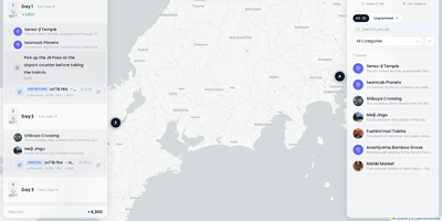
- Build trip visualizations between any two dates with route replay, day-by-day accordion views, notes, and public sharing with phrase-protected links.
- Family Location Sharing
- Share last-known locations with family members via consent-based controls where each member independently enables or disables their visibility.
- Travel Statistics Dashboard
- Analyze countries visited, cities explored, total distance, and active days broken down by year and month with Chartkick-powered visualizations.